
Population 7,452 (2015 est) Area 49,698 km² | Established 2008 Founded 2008 Mayor Lothar Siebert | |
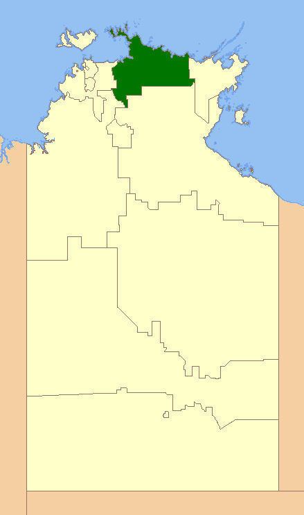 | ||
The West Arnhem Region is a local government area of the Northern Territory, Australia. The region covers an area of 49,698.26 km² and has an estimated population of 7,452 people.
Contents
Map of West Arnhem NT 0822, Australia
History
In October 2006 the Northern Territory Government announced the reform of local government areas. The intention of the reform was to improve and expand the delivery of services to towns and communities across the Northern Territory by establishing eleven new shires. The West Arnhem Shire was created on 1 July 2008.
Elections of Shire Councillors were held on 25 October 2008. The current Mayor of the West Arnhem Shire is Lothar Siebert (2012).
On 1 January 2014, the Shire became the West Arnhem Region.
The Region formerly consisted of unincorporated land, plus small areas under the control of Community Government Councils or incorporated communities.:
Wards
West Arnhem Regional Council is divided into four wards with three councillors each: