
Population 1,135 (2006 census) Mean min temp Annual rainfall Postal code 0886 | Postcode(s) 0886 Mean max temp Mean min temp Elevation 27 m Local time Saturday 6:50 AM | |
 | ||
Weather 26°C, Wind NW at 2 km/h, 92% Humidity | ||
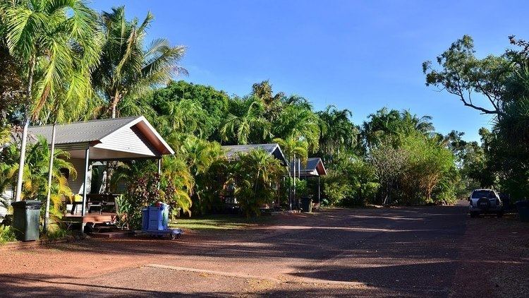
Jabiru is a town in the Northern Territory of Australia. It was originally built in 1982 as a closed town to house the community living at Jabiru East near the Ranger Uranium Mine eight kilometres away. Both the mine and the town are completely surrounded by Kakadu National Park. At the 2006 census, Jabiru had a population of 1,135.
Contents
Map of Jabiru NT 0886, Australia
Overview
Jabiru Township is thirteen square kilometres in size. The town is owned as freehold by the Director of National Parks and Wildlife, from which a head lease is held by the Jabiru Town Development Authority (JTDA). The JTDA subleases to the mining company, government agencies and private business. The head lease expires in 2021.
The JTDA has delegated local government responsibility to the Jabiru Town Council. The Northern Territory Government is in the process of amalgamating Jabiru Town Council into the West Arnhem Shire (now Region) in 2008. Additionally, Jabiru town services are administered by the West Arnhem Regional Council, whose council chambers are in the town plaza.
Apart from the Ranger mine, Jabiru's most notable industries are tourism (it is the commercial and accommodation hub of Kakadu National Park), and Aboriginal arts and culture.
Jabiru features a small town plaza that includes a video souvenir shop, a supermarket, bank, tackle shop, cafe, hairdresser, post office, news agency, bank and bakery (behind the fire station) as well as government, Northern Land Council offices, Magistrates Courts and emergency services (Police, Fire and Ambulance).
Climate
Jabiru has a tropical monsoon season, typical of most of the Top End. Jabiru experiences heavy rain that often results in widespread flooding along the Arnhem Highway and Kakadu Highway. During 2006–07 Jabiru had its biggest wet season on record cutting both highways after almost 2 metres (6 ft 7 in) of rain fell over a 3-month period. The Arnhem Highway was cut off for several weeks as the West Alligator bridge was severely damaged. Temperatures can drop below 10 °C (50 °F) in the winter/dry season from May to August and peak at over 40 °C (104 °F) during the buildup season from September to November. Spectacular electrical storms are also frequent during this period, before the prolonged rains of the wet season arrive.
Recreation
Recreational facilities include the Jabiru town lake (picnic areas and barbecues), freshwater fishing for barramundi (a local specialty), the Yellow Water cruise, day-trips to Ubirr Rock, Twin Falls and other natural features of Kakadu National Park, as well as a Sports and Social Club, an Olympic-size swimming pool (the only place guaranteed safe from crocodiles to swim), cricket ovals where cricket and Australian rules football are played. Magela Field in Jabiru is home to the Jabiru Bushratz RUFC, who are currently celebrating their 25th year in 2008. There is also a 9-hole golf course which is the only licensed premises for takeaway alcohol; however only members can buy takeaway alcohol there. Visitors can consume alcohol in opened containers on licensed premises.