
- elevation 137 m (449 ft) | - elevation 977 m (3,205 ft) | |
 | ||
- left Wentworth River Baldhead Branch, Wild Horse Creek (Victoria), Pheasant Creek - right Danes Creek, Teapot Creek Mouths | ||
The Wentworth River is a perennial river of the Mitchell River catchment, located in the East Gippsland region of the Australian state of Victoria.
Contents
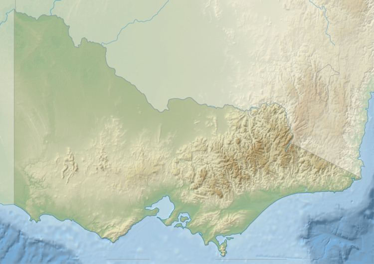
Map of Wentworth River, Victoria, Australia
Features and location
The Wentworth River rises below Mount Birregun east of Dargo, part of the Great Dividing Range, about 20 kilometres (12 mi) southeast of Dinner Plain and a similar distance southwest of Omeo. The river flows generally southeast, then southwest, then south in a highly meandering course through a state forestry area, joined by four minor tributaries, before reaching its confluence with the Wonnangatta River and Swamp Creek to form the Mitchell River north of the Mitchell River National Park, in the Shire of East Gippsland. The river descends 866 metres (2,841 ft) over its 59-kilometre (37 mi) course.
Etymology
In the Australian Aboriginal Braiakaulung dialect of the Gunai language, there are two names for the Wentworth River; Tally-yalmy, meaning "shark" referring to an oral legend that a long time ago, "old man Blackfellow" caught a little shark at the mouth of the Wentworth River; and Daberda'bara, meaning "rocky bank."