
Elevation 1,087 m (3,566 ft) Local time Monday 4:16 AM | Highest elevation 2,687 m (8,816 ft) | |
 | ||
Region Trentino-Alto Adige/Südtirol Frazioni Ried (Novale), Wiesen (Prati), Unterrain (Riva di Sotto), Taisten (Tesido) Weather 6°C, Wind SW at 0 km/h, 87% Humidity | ||
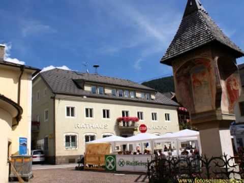
Welsberg-Taisten ( ['vɛlsbɐk-'taɪ̯stn̩]; Italian: Monguelfo-Tesido [moɲˈɡwɛlfo ˈteːzido]) is a comune (municipality) in the province of South Tyrol in northern Italy, located about 60 kilometres (37 mi) northeast of the city of Bolzano.
Contents
- Map of 39035 Monguelfo Tesido Province of Bolzano South Tyrol Italy
- Geography
- Frazioni
- Coat of arms
- Linguistic distribution
- References
Map of 39035 Monguelfo-Tesido Province of Bolzano - South Tyrol, Italy
Geography
As of November 30, 2010, it had a population of 2,809 and an area of 46.6 square kilometres (18.0 sq mi). Welsberg-Taisten borders the following municipalities: Prags, Rasen-Antholz, Olang, Gsies, and Niederdorf.
Frazioni
The municipality of Welsberg-Taisten contains the frazioni (parishes) Ried (Novale), Wiesen (Prati), Unterrain (Riva di Sotto) and Taisten (Tesido). Taisten lies 1,212 metres (3,976 ft) above sea level in the Puster Valley, east of Bruneck.
Coat-of-arms
The emblem is quarterly argent and sable. It is the arms of the Earls of Welsberg, whose castle was in the municipality, which gave to the village its name. The emblem was adopted in 1932.
Linguistic distribution
According to the 2011 census, 95.08% of the population speak German, 4.57% Italian and 0.35% Ladin as first language.