
OS grid reference NY858395 Local time Sunday 3:27 PM | Unitary authority Sovereign state United Kingdom Dialling code 01388 | |
 | ||
Weather 14°C, Wind SW at 35 km/h, 68% Humidity | ||
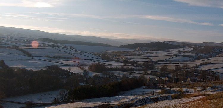
Wearhead is a village in County Durham, in England. It is situated at the top of Weardale between Cowshill and Ireshopeburn. It is named after the nearby source of the River Wear which runs eastwards for approx 40 miles to Sunderland. In the 2001 census Wearhead had a population of 210.
Contents
Map of Wearhead, Bishop Auckland, UK
The first settlement at Wearhead may have been a farmstead, possibly a summer base for the Bishop's cattle which would have been taken to lower ground in winter. East of the village lies a steep hillside, which has evidence of shallow shafts and hushes which were the early methods used to extract lead and iron. In County Durham there were rich deposits of lead lying within a circle of about 10 miles radius drawn around Wearhead, hence the lead-mining industry of Weardale and Teesdale.
In 1858 the Post Office Directory listed - Beer Retailer, Grocer / Draper, Tailor / Draper, Grocer, Joiner / Postmaster, Grocer and Drapers / Joiner. In 1915 the Post Office Directory listed - The Bank of Liverpool. In 1971 Barclays Bank (formerly Martins Bank) was sold and the property became a Butcher shop, which has since closed.
Wearhead stands 1,104 feet above sea level and has some of the highest peaks in County Durham, Killhope Law (673m) and Burnhope Seat 2,452 feet (747 m). Burnhope Reservoir is approx 1 mile from Wearhead. In the construction six farms were submerged when water rose to fill the man-made reservoir in 1937.
Railways
Wearhead was the terminus of the Weardale Extension Railway which opened in 1895, being mainly a freight line carrying limestone, iron ore, lead ore and fluorspar to the industrial areas of North East England. It closed to passenger traffic in 1953 and later to freight in 1961.
Decline then seeds of revival
In 2005 Wearhead lost its last shop with the closure of the Co-op and shortly afterwards, the Methodist Church held its last service after being in existence for over 180 years.
Some signs of revival in that the former Co-Op Shop has re-opened as an independent village store and the former Post Office was opened as a Craft Shop/Cafe. This has closed and converted to a house since. The houses of Wearhead are thought to be some of the most beautiful and original of Weardale. There is a park & recreational field where the local teams play football.