
- right Meyers Creek - elevation 865 m (2,838 ft) - elevation 77 m (253 ft) | - location below Mount Vinegar - location south of Healesville | |
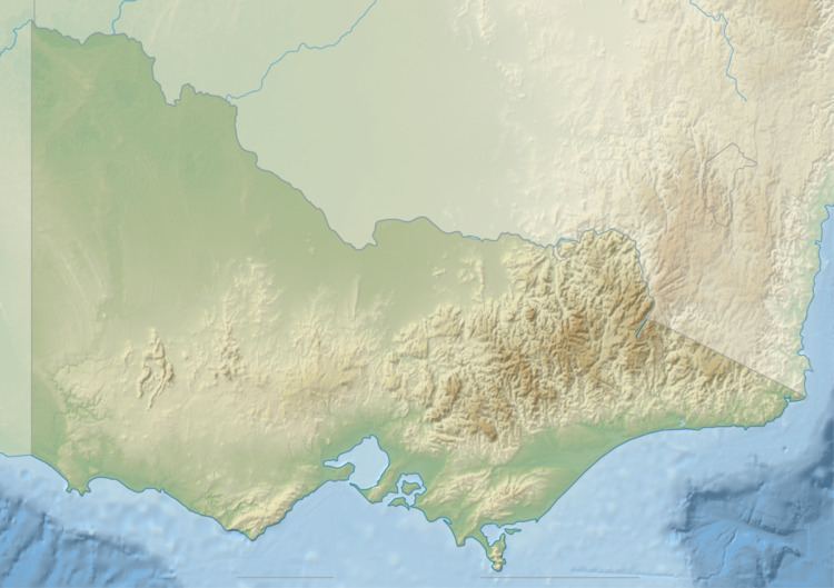 | ||
The Watts River is a perennial river of the Port Phillip and Western Port catchment, located in the Central Victoria region of the Australian state of Victoria.
Contents
Location and features
The Watts River rises below Mount Vinegar within the Yarra Ranges, a part of the Great Dividing Range, within the Watts River Reference Area, near the settlement of Somers Park, north east of Healesville. The river flows generally south, then northwest, then southwest where it is impounded by the Maroondah Dam to create the 22,000-megalitre (780×10^6 cu ft) Maroondah Reservoir. After flowing over the dam spillway, the river flows generally west by south, joined by the Meyers Creek, before reaching its confluence with the Yarra River south of Healesville. The river descends 788 metres (2,585 ft) over its 29 kilometres (18 mi) course.
The river became part of Melbourne's water supply system in 1891, with the construction of a diversion weir and the Maroondah Aqueduct. At that time, the catchments were closed and cleared of human habitation. The river was dammed in 1927 to form Maroondah Reservoir. It is largely contained in the forested reservoir catchment within the Yarra Ranges National Park.
The river is traversed by the Maroondah Highway, upriver of the Maroondah Reservoir.
Etymology
In the Australian Aboriginal Woiwurrung language, the name for the river is Broong-ku-galk, with galk meaning "timber" or "sticks".