
Length 120 km | ||
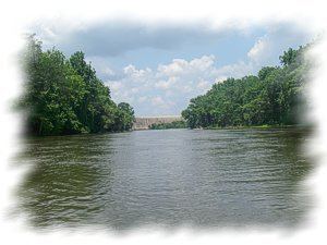 | ||
The Wateree River, about 75 mi (120 km) long, is a tributary of the Santee River in central South Carolina in the United States, which flows to the Atlantic Ocean. Its name recalls the now-extinct Wateree Native Americans, who lived in the area until displaced by European settlers.
Contents
Map of Wateree River, South Carolina, USA
Course
The Wateree River is a continuation of the Catawba River, which flows from the Blue Ridge Mountains in North Carolina; the Catawba and Wateree are the same river with different names assigned to sections of it. The name change occurs at the point where Wateree Creek empties into Lake Wateree which is formed by Wateree Hydro Station Dam, a Duke Energy hydroelectric dam, in Kershaw County, South Carolina. The Wateree flows generally southward through Kershaw County and along the common boundary of Richland and Sumter counties, past the town of Camden. It joins the Congaree River to form the Santee River about 35 mi (55 km) southeast of Columbia.
Crossings
The following is a list of crossings along the short length of the Wateree