
Postal code 65110 Chief roadway Route 11 Elevation 40 m Population 5,293 (2005) | Geocode 650509 Chief watercourse Wat Ta Yom River Local time Sunday 12:53 PM | |
 | ||
Weather 37°C, Wind S at 10 km/h, 39% Humidity Amphoes Phitsanulok Province, Bang Krathum District | ||
Wat Ta Yom (Thai: วัดตายม) is a subdistrict (tambon) in the Bang Krathum district of Phitsanulok Province, Thailand.
Contents
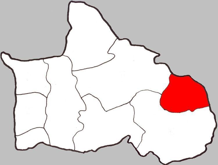
- Map of Wat Ta Yom Bang Krathum District Phitsanulok Thailand
- Etymology
- Geography
- History
- Economy
- Administration
- Temples
- References
Map of Wat Ta Yom, Bang Krathum District, Phitsanulok, Thailand
Etymology
The first element wat (Thai: วัด) means temple; the second element ta (Thai: ตา) means eye; the third element yom (Thai: ยม) means weep, hence Weeping Eye Temple.
Geography
Wat Ta Yom is bordered to the north by Nong Phra in Amphoe Wang Thong, to the north-east by Phan Chali in Amphoe Wang Thong, to the south-east by Noen Kum, and to the south-west by Phai Lom and to the north-west by Nakhon Pa Mak. The district consists of flat lowlands with no hills or forest. The majority of the land has been cleared for agricultural use. The Wat Ta Yom River flows through Wat Ta Yom. The subdistrict lies within the Nan Basin, which is part of the Chao Phraya Watershed.
History
Wat Ta Yom became a municipality in 1999.
Economy
The economy of Wat Ta Yom is almost entirely based on agriculture, and the chief product is rice.
Administration
The subdistrict is subdivided into 8 smaller divisions called (muban). There are 2 villages in Wat Ta Yom, one of which, Ban Wat Ta Yom, occupies multiple muban. Wat Ta Yom is administrated by a Tambon administrative organization (TAO). The muban in Wat Ta Yom are enumerated as follows:
Temples
Wat Ta Yom is home to the following five temples: