
Postal code 65110 Chief roadway Route 11 Elevation 38 m Population 8,838 (2005) | Geocode 650508 Local time Wednesday 6:19 AM | |
 | ||
Weather 26°C, Wind SE at 5 km/h, 75% Humidity Amphoes Phitsanulok Province, Bang Krathum District | ||
Noen Kum (Thai: เนินกุ่ม) is a subdistrict (tambon) in the Bang Krathum district of Phitsanulok Province, Thailand.
Contents
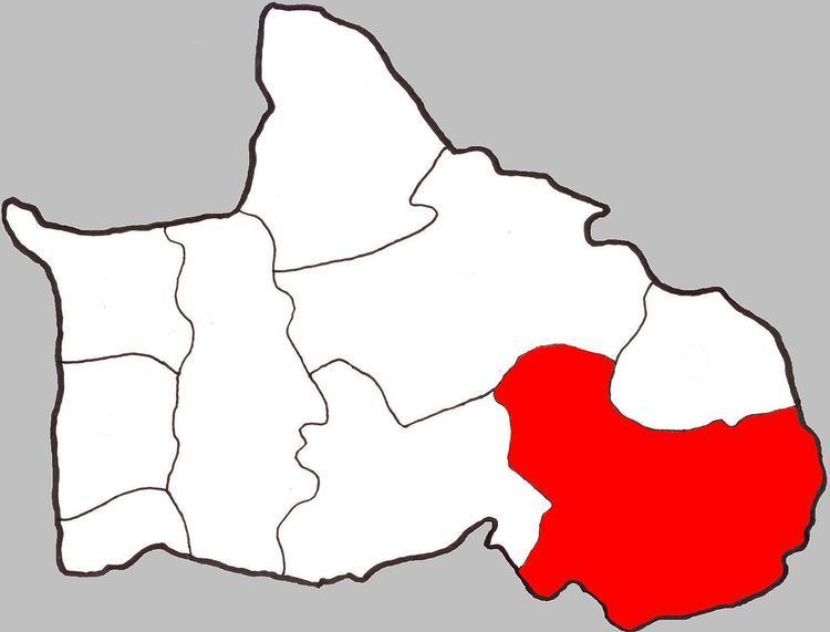
- Map of Noen Kum Bang Krathum District Phitsanulok Thailand
- Geography
- Administration
- Economy
- Temples
- References
Map of Noen Kum, Bang Krathum District, Phitsanulok, Thailand
Geography
Noen Kum borders Wat Ta Yom to the north, Amphoe Wang Thong to the north-east, Phichit Province to the south and south-east, Phai Lom to the west and Nakhon Pa Mak to the north-west.
Noen Kum lies within the Nan Basin, which is part of the Chao Phraya Watershed. The Wat Ta Yom River flows through Noen Kum.
Administration
The subdistrict is subdivided into 11 smaller divisions called (muban), which roughly correspond to the villages in Noen Kum. There are 7 villages, several of which occupy multiple muban. Noen Kum is administrated by a Tambon administrative organization (TAO). The muban in Noen Kum are enumerated as follows:
Economy
The economy of Noen Kum is almost entirely based on rice farming and other agriculture.
Temples
Noen Kum is home to the following seven temples: