
 | ||
The Washington meridians are four meridians that were used as prime meridians in the United States and pass through Washington, D.C.. The four which have been specified are:
Contents
- Capitol meridian
- White House meridian
- Old Naval Observatory meridian
- Western state borders
- New Naval Observatory meridian
- References
- through the Capitol
- through the White House
- through the old Naval Observatory
- through the new Naval Observatory.
Their longitudes may be reported in three ways:
- relative to the local vertical used by astronomic observations
- relative to NAD 27 (North American Datum 1927), an ellipsoid of revolution that is at mean sea level beneath triangulation station Meades Ranch, Kansas (not Earth-centered);
- relative to NAD 83, an Earth-centered ellipsoid of revolution with dimensions chosen to best fit the undulating (±100 m) geoid (world-wide mean sea level).
NAD83 longitude of the Capitol is about 1.1 arc seconds less than its NAD27 longitude; astronomic longitude there is about 4 arc seconds less than NAD83.
Capitol meridian
Pierre (Peter) Charles L'Enfant specified the first meridian in his 1791 "Plan of the city intended for the permanent seat of the government of the United States . . ." (see: L'Enfant Plan). (Shortly after L'Enfant prepared this plan, its subject received the name "City of Washington".) His plan stated near its right side that the longitude of the Congress house, now called the Capitol, was 0,0°.
L'Enfant's plan contained the following explanatory note:
In order to execute the above plan, Mr. Ellicott drew a true meridian line by celestial observation, which passes through the area intended for the Congress-House; this line he crossed by another line due east and west and which passes through the same area. These lines were accurately measured, and made the basis on which the whole plan was executed. He ran all the lines by a transit instrument, and determined the acute angles by actual measurement, and left nothing to the uncertainty of the compass.
The longitude of the center of the Capitol's dome (completed in 1863 during the Civil War) is now given by the National Geodetic Survey as 77°00'32.6"W (NAD 83).
White House meridian
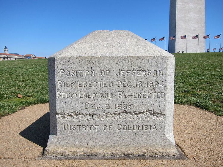
L'Enfant planned Washington around a right triangle, having its 90° vertex at an equestrian statue of George Washington, its eastern vertex at the "Congress house" and its northern vertex at the "President's house", now named the "White House". (This would place L'Enfant's statue 0.36 meters (1 ft 2 in) north of the latitude of the Capitol.)
The west side of L'Enfant's triangle forms a natural prime meridian passing through the President's house. The following nine features on and near this "Washington Meridian" are listed from south to north:
Old Naval Observatory meridian
The third meridian was defined on September 28, 1850 by Congress: "[T]he meridian of the observatory at Washington shall be adopted and used as the American meridian for all astronomical purposes and ... the meridian of Greenwich shall be adopted for all nautical purposes." The observatory decided that this meridian passed through the center of the original (small) dome atop the main building of the Old Naval Observatory, now abandoned southwest of the corner of E and 23rd Streets in Foggy Bottom (north of the Lincoln Memorial and west of the White House). The observatory adopted 77°2'48.0"W for its meridian in the American Ephemeris and Nautical Almanac for the years 1855 to 1869 (as 5h8m11.2s). In 1897, well after the observatory closed in 1892, the Coast and Geodetic Survey reported that its meridian was 77°3'2.3" west of Greenwich, which was quoted for the next 50 years in the list of observatories in the Almanac (as 5h8m12.15s). When referred to later datums, this meridian has been variously specified as 77°3'6.119"W or 77°3'6.276"W (both presumably NAD 27). If NAD27, the latter would be 77°3'5.194"W (NAD 83) which seems to be within a few meters of the actual longitude, at worst. This meridian was repealed by Congress on August 22, 1912 to allow the Greenwich meridian to become the legal prime meridian of the United States.
Western state borders
Many western states have borders that are meridians of "longitude west of Washington", that is, west of the legal 1850 meridian through the Old Naval Observatory. However, their present boundaries follow the subsequently surveyed boundary, even when inaccurately marked a few miles (kilometers) east or west of the meridian in the statute. Other western states have meridians relative to Greenwich (Alaska, California, Oklahoma, Texas) or relative to a river or lake (Arkansas, Louisiana, Minnesota, Missouri, Oregon, Washington state).
The following meridians west of Washington are listed east to west, along with the appropriate boundary of the present state. The date of the meridian's definition is in parentheses (all in the 1860s). All states were territories of the same name when their meridians were specified except as noted. States without dates have boundaries dependent on the neighboring state with a date listed immediately above it.
New Naval Observatory meridian
The fourth meridian was through the clock room of the new Naval Observatory, 2.3 miles (3.8 km) northwest of the White House, at 77°3'56.7"W (1897) or 77°4'2.24"W (NAD 27) or 77°4'1.16"W (NAD 83). The clock room is a small building at the exact center of the 1000-foot (305 m) radius observatory grounds, whose northern entrance is at 34th Street and Massachusetts Avenue. It was used in the Almanac for the years 1898–1950 as the independent variable of time for a few tables (even though Washington's civil time since 1883 had been that of the standard time zone GMT−5 hours (75°W)).