
Existed: 1970 – present East end: US 97 near Ellensburg Length 26.01 km | Counties: Kittitas Constructed 1969 East end US 97 near Ellensburg | |
 | ||
County | ||
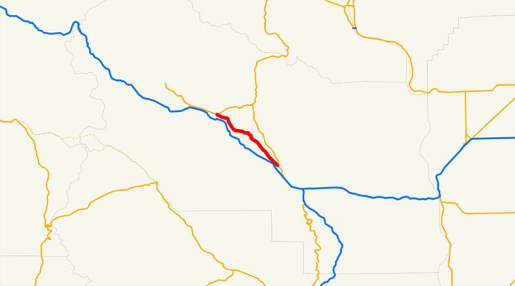
State Route 10 (SR 10) is a 16.16-mile-long (26.01 km) state highway in the U.S. state of Washington. The highway is a remnant of U.S. Route 10 (US 10) in Kittitas County, traveling southeast along the Yakima River from SR 970 in Teanaway to US 97 northwest of Ellensburg. SR 10 was established in 1970 as the successor to US 10 after the completion of I-90 across the Snoqualmie Pass in 1968. The highway was previously part of State Road 3 from 1923 to 1937 and Primary State Highway 3 (PSH 3) until the 1964 highway renumbering.
Contents
Map of WA-10, Washington, USA
Route description
SR 10 begins at an intersection with SR 970 south of DeVere Field in the unincorporated community of Teanaway in Kittitas County, southeast of Cle Elum. The highway travels southeast, parallel to a portion of the Stampede Subdivision of the BNSF Railway through the Yakima River valley and crosses over the Teanaway River before its confluence with the Yakima River. SR 10 continues southeast through Bristol and Thorp before it ends at an intersection with US 97 northwest of Ellensburg.
Every year, the Washington State Department of Transportation (WSDOT) conducts a series of surveys on its highways in the state to measure traffic volume. This is expressed in terms of average annual daily traffic (AADT), which is a measure of traffic volume for any average day of the year. In 2011, WSDOT calculated that 1,400 vehicles per day used the highway.
History
SR 10 follows the route of the Roslyn branch of the Northern Pacific Railway, built in the Yakima River valley by the late 1890s. A roadway was built in the valley and incorporated into the Inland Empire Highway in 1913 and the Southern Division of the Sunset Highway in 1919. The highway became part of State Road 3 in 1923, which was co-signed with US 10 and US 97 during the creation of the United States Numbered Highways in 1926. State Road 3 became PSH 3 during the creation of the primary and secondary state highways in 1937, still co-signed with US 10 and US 97 through the Yakima River valley. US 10 was temporarily re-aligned over Blewett Pass in the late 1930s, leaving US 97 alone in the Yakima River valley, until US 10 was moved back to its original route in 1946 after US 2 was extended west from Idaho. During the 1964 highway renumbering, US 10 completely replaced PSH 3 as I-90 was being planned along its route. I-90 opened between Vantage and Snoqualmie Pass in November 1968 and SR 10 replaced US 10 when the state highways were codified in 1970. US 97 was moved onto former SR 131 between Thorp and Virden in 1975, leaving SR 10 without a concurrency and creating SR 970.
Major intersections
The entire highway is in Kittitas County.