
Population 9,728 (2015 est) Region Orana | Website Warrumbungle Shire Area 12,380 km² Mayor Peter Shinton (Unaligned) | |
 | ||
Points of interest Siding Spring Observatory, Australian Museum Diprotodo, Getaway Tourist Park, UK Schmidt Telescope, Warrumbungles | ||
The Warrumbungle Shire is a local government area in the central western region of New South Wales, Australia. The Shire is traversed by the Newell Highway.
Contents
- Map of Warrumbungle NSW Australia
- Main towns and villages
- Council
- Current composition and election method
- Tourism
- References
Map of Warrumbungle, NSW, Australia
Main towns and villages
The Shire incorporates the towns of Binnaway, Coolah, Coonabarabran, Dunedoo, Baradine and Mendooran.
Council
The Shire was created in 2004 by the amalgamation of Coolah and Coonabarabran Shire councils. Following amalgamation, the Shire was run by an administrator, until elections were held in March 2005.
Current composition and election method
Warrumbungle Shire Council is composed of nine Councillors elected proportionally as a single ward. All Councillors are elected for a fixed four-year term of office. The Mayor is elected by the Councillors at the first meeting of the Council. The most recent election was held on 10 September 2016, and the makeup of the Council is as follows:
The Mayor of Warrumbungle Shire Council is Cr. Peter Shinton, who is unaligned with any political party and was drawn from a hat when he drew 4-4 with Cr Ray Lewis. Cr Shinton was also mayor from 2012 to 2016. Cr Denis Todd was also drawn from a hat for Deputy Mayor after drawing 4-4 with Cr Anne-Louise Capel. The method of election was unpopular with ratepayers, who believed that the election should have been postponed until all Councillors were present.
The current Council, elected in 2016, alphabetically, is:
Tourism
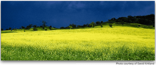
Large numbers of people visit the Warrumbungle mountain range and Warrumbungles National Park, which are fascinating geological areas of New South Wales.