Airport type Public 04/22 2,575 785 Asphalt Phone +1 802-496-2290 | Elevation AMSL 1,470 ft / 448 m 2,575 785 Elevation 448 m Serves Warren | |
 | ||
Owner Granite Intersection Inc Address 2355 Airport Rd, Warren, VT 05674, USA | ||
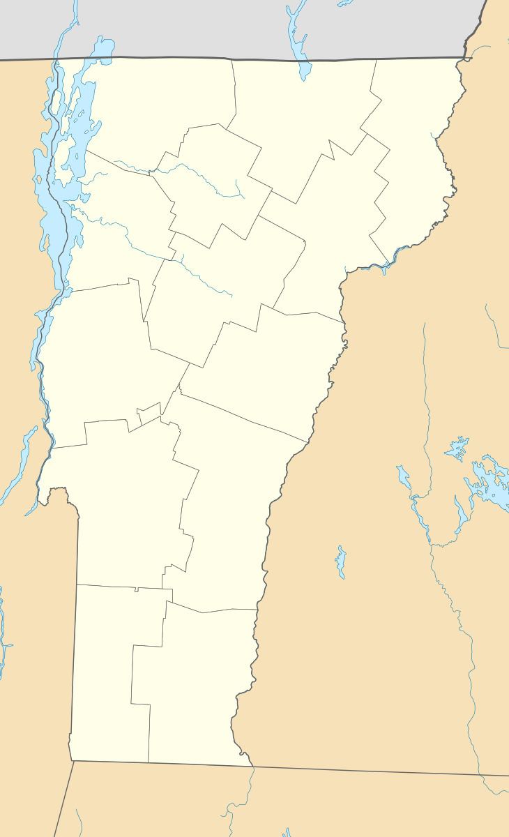
Warren–Sugarbush Airport is a public use airport in Washington County, Vermont, United States. It is owned by Granite Intersection Inc and is located two nautical miles (3.74 km) east of the central business district of the Town of Warren .
Contents
Although most U.S. airports use the same three-letter location identifier for the FAA and IATA, this airport is assigned 0B7 by the FAA but has no designation from the IATA.
Facilities and aircraft
Warren–Sugarbush Airport covers an area of 125 acres (51 ha) at an elevation of 1,470 feet (448 m) above mean sea level. It has one runway designated 04/22 with an asphalt surface measuring 2,575 by 30 feet (784.8 x 9.1 m). For the 12-month period ending January 1, 2005, the airport had 18,500 aircraft operations, an average of 51 per day: 100% general aviation. At that time there were 70 aircraft based at this airport: 29% single-engine, and 71% gliders.
Events and tourism
The airport is mainly used for private aircraft (seasonal) but during the summer a gliding company called Sugarbush Soaring operates a glider tour service. Every year on July 3 the airport hosts an exhibition of private and stunt airplanes, it also includes pilots showing off their well practiced stunts to the crowd made up mostly of tourists. During the winter when snow is on the ground the airport is transformed into a Nordic ski center called Ole's. Ole's uses the airport and surrounding land for trails.
