
Vehicle registration WAF Population 278,145 (31 Dec 2010) | Time zone CET (UTC+1) Area 1,317 km² | |
 | ||
Points of interest Vier‑Jahreszeiten‑Park in Oelde, RELíGIO ‑ Westfälisches Museum f, St Stephanus, Kindermuseum Klipp Klapp, Schloss Harkotten Destinations | ||
Warendorf is a Kreis (district) in the northern part of North Rhine-Westphalia, Germany. Neighboring districts are Steinfurt, Osnabrück (district), Gütersloh, Soest, district-free city Hamm, Coesfeld and the district-free city Münster.
Contents
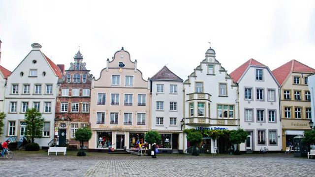
Map of Warendorf, Germany
History
In medieval times the region was part of the Prince-Bishopric of Münster. When it became part of the Prussian Province of Westphalia, the new government in 1816 created the districts of Warendorf and Beckum. In 1975 these two districts were merged to form today's district.
Geography
The district is located east of the city of Münster. The Ems river runs through the district from east to west. The Lippe River forms part of the southern border of the district.
References
Warendorf (district) Wikipedia(Text) CC BY-SA