
Vehicle registration SO | Time zone CET (UTC+1) Population 304,167 (31 Dec 2010) Administrative region Arnsberg | |
 | ||
University International Business School Points of interest Arnsberg Forest Nature P, Möhne Reservoir, Ruhr, Bilsteinhöhle, Warsteiner Welt Destinations | ||
Soest ( [ˈzoːst]) is a Kreis (district) in the middle of North Rhine-Westphalia, Germany. Neighbouring districts are Warendorf, Gütersloh, Paderborn, Hochsauerland, Märkischer Kreis, Unna and the independent town of Hamm.
Contents
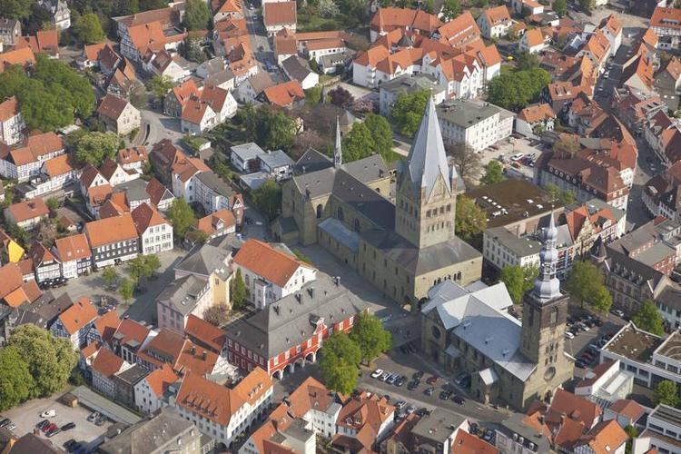
Map of Soest, Germany
History
In medieval times Soest was the biggest town in Westphalia; however, after it liberated itself from the bishops of Cologne in the Soester Fehde in 1449 it slowly lost importance, only to gain it again when in 1816 the new Prussian government created the district. In 1975 the district was merged with the neighbouring district of Lippstadt and parts of the former district of Arnsberg.
Geography
Geographically it covers the northern part of the Sauerland hills and the lower land north of it, the 'Hellweg'. The rather flat land and very fertile loess soil have made it an agricultural area from ancient times. The main rivers through the district are the Ruhr, the Lippe and the Möhne, which is dammed to form the Möhne Reservoir. The highest elevation is in the area of Warstein at 580m, while the lowest is the Lippe valley at 65m.