
Admin. region Münster Time zone CET/CEST (UTC+1/+2) Elevation 74 m Population 29,276 (31 Dec 2010) Postal code 59302 | Postal codes 59302 Area 102.6 km² Local time Wednesday 9:25 PM Administrative region Münster | |
 | ||
Weather 9°C, Wind E at 10 km/h, 55% Humidity | ||
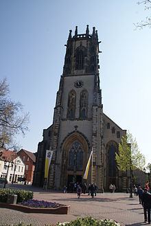
Oelde ( [ˈœldə]) is a town in the district of Warendorf, in North Rhine-Westphalia, Germany. It is located near Beckum.
Contents
- Map of Oelde Germany
- Division of the town
- Neighbouring places
- International relations
- History
- Economy
- Roads
- Railways
- References
Map of Oelde, Germany
Division of the town
Oelde consists of 5 districts:
Neighbouring places
International relations
Oelde is twinned with:
History
Records from the 9th century show that there was a settlement named "Ulidi" on the site, although Oelde only received township in the year 1800. In the 14th century, a castle was built in Oelde.
Economy
Oelde is a centre of metal and lumber production, publishing, and also higher education through its nursing college. It is also home to the headquarters of GEA ( Westfalia Separator), a manufacturer of centrifuges and dairy machines.
Roads
Oelde is connected to the Bundesautobahn 2.
Railways
The Hamm–Minden railway connects Oelde station to the German rail network. The line is served by the Rhein-Weser-Express and the Ems-Börde-Bahn every hour.