
Time zone EAT (UTC+3) Local time Monday 12:20 AM | Elevation 640 m | |
 | ||
Weather 26°C, Wind SE at 10 km/h, 66% Humidity | ||
Location
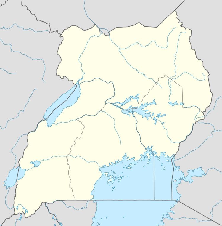
Wanseko is located on the eastern shores of Lake Albert, in Buliisa District. It lies approximately 45 kilometres (28 mi), by road, north of the district headquarters at Buliisa. This location is approximately 300 kilometres (190 mi), by road, northwest of Kampala, Uganda's capital and largest city. The settlement lies at the mouth of the Victoria Nile, at it enters Lake Albert. The coordinates of Wanseko are:2°10'40.0"N, 31°22'50.0"E (Latitude:2.177778; Longitude:31.380556).
Overview
Wanseko lies within Bugungu Wildlife Reserve. It offers opportunity to view various species of exotic bird species. It also supports a small fishing community. The settlement is the northern end of the 111 kilometres (69 mi) Hoima–Butiaba–Wanseko Road. A government-funded transportation ferry crosses the mouth of the river from Wanseko in Buliisa District to Panyimur in Nebbi District, twice daily, six days a week, Mondays through Saturdays.