
District Buliisa District Elevation 600 m | Time zone EAT (UTC+3) Local time Monday 8:46 PM | |
 | ||
Weather 28°C, Wind N at 5 km/h, 59% Humidity | ||
Buliisa is a town in the Western Region of Uganda. It is the site of the headquarters of the Buliisa District.
Contents
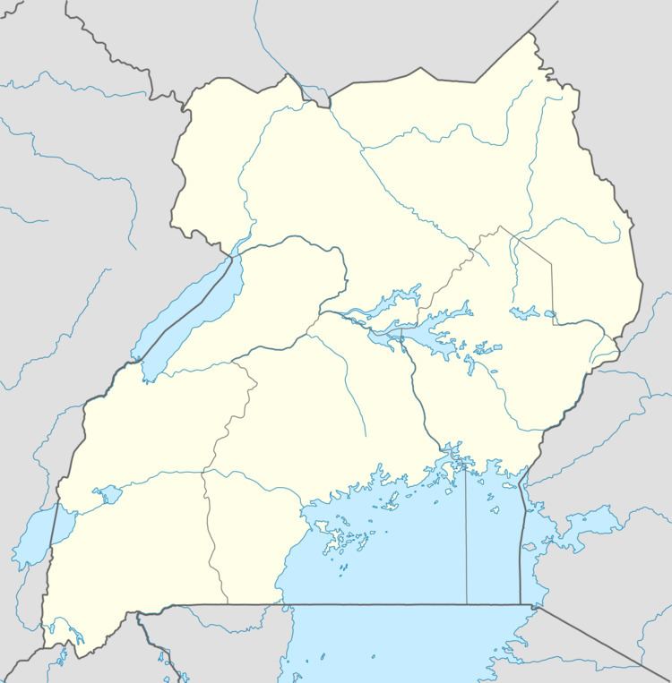
Map of Bulisa, Uganda
Location
Buliisa is approximately 80 kilometres (50 mi), by road, northwest of Masindi, the largest town in the sub-region. This is approximately 305 kilometres (190 mi), by road, northwest of Kampala, the capital and largest city of Uganda. The coordinates of the town are 2°10'40.0"N, 31°22'54.0"E (Latitude:2.177778; Longitude:31.381667).
Overview
Buliisa is on the northeastern shores of Lake Albert. The town gained prominence during the 2000s because of the large hydrocarbon deposits that have been discovered underground in the district and elsewhere in the Bunyoro sub-region.
Population
The 2002 national population census estimated the population of the town at 22,600. In 2010, the Uganda Bureau of Statistics (UBOS) estimated the population at 27,400. In 2011, UBOS estimated the mid-year population at 28,100.
Points of interest
The following additional points of interest lie within the town limits or near the edges of town: