
Population 701 (2011) Sovereign state United Kingdom Area 10.48 km² Postcode district PE14 | OS grid reference TF515138 Post town WISBECH | |
 | ||
District | ||
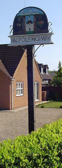
Walpole Highway is a village and civil parish in the English county of Norfolk. It covers an area of 10.48 km2 (4.05 sq mi) and had a population of 685 in 266 households at the 2001 census, the population increasing to 701 at the 2011 census. For the purposes of local government, it falls within the district of King's Lynn and West Norfolk.
Map of Walpole Highway, UK
The village lies to the south of the route of the A47 between Peterborough and King's Lynn.
References
Walpole Highway Wikipedia(Text) CC BY-SA