
Population 39 (2011 census) Postcode(s) 5556 State electorate(s) Goyder Postal code 5556 | Established 1999 Time zone ACST (UTC+9:30) Founded 1999 | |
 | ||
Lga District Council of the Copper Coast | ||
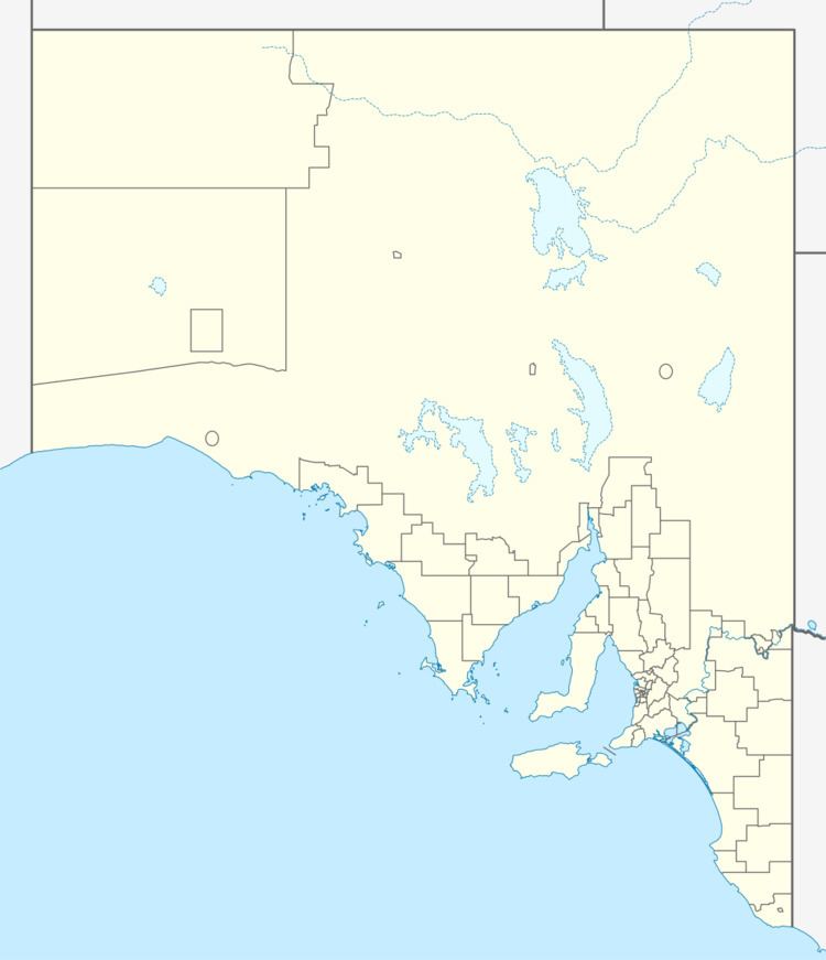
Wallaroo Plain is a locality in the Australian state of South Australia located on the west coast of Yorke Peninsula immediately adjoining Spencer Gulf about 148 kilometres (92 mi) north-west of the Adelaide city centre. Its boundaries were created in January 1999 along with the selection of the name. The name was derived from the plain which the locality now occupies. As of 2014, land within the locality was zoned for agriculture while a strip of land along the coastline adjoining Spencer Gulf was zoned for conservation. Wallaroo Plain is located within the federal division of Grey, the state electoral district of Goyder and the local government area of the District Council of the Copper Coast.
Map of Wallaroo Plain SA 5556, Australia
References
Wallaroo Plain, South Australia Wikipedia(Text) CC BY-SA