Time zone CET (UTC+1) Area 68.91 km² | Elevation 545 m Local time Wednesday 8:46 AM | |
 | ||
Weather 9°C, Wind NW at 14 km/h, 93% Humidity Points of interest Skalní potok, Suchý vrch, Pustá Rudná, Vila Friedricha Grohmanna | ||
Lucy s barber shop promo video vrbno pod prad dem
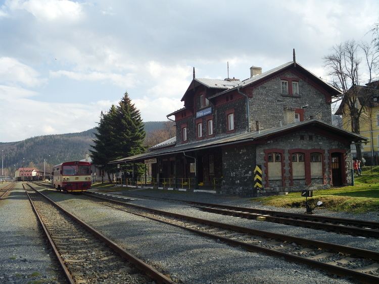
Vrbno pod Pradědem ( [ˈvr̩bno ˈpotpraɟɛdɛm]; German: Würbenthal) is a town in the Moravian-Silesian Region, Czech Republic. It is located on the Opava River and has 6,072 inhabitants.
Contents
- Lucy s barber shop promo video vrbno pod prad dem
- Map of 793 26 Vrbno pod PradC49Bdem Czechia
- Od w rbenthal po vrbno pod prad dem
- History
- References
Map of 793 26 Vrbno pod Prad%C4%9Bdem, Czechia
Od w rbenthal po vrbno pod prad dem
History
Germans settlers founded the town in 1611. It was named after Heinrich von Würben, an influential citizen.
Until 1918, WÜRBENTHAL was part of the Austrian monarchy (Austria side after the compromise of 1867), in the Freudenthal (Bruntál District), one of the 8 Bezirkshauptmannschaften in Austrian Silesia. According to the census of 1910 the town had 3,614 inhabitants, 3,519 of whom had permanent residence there. The census questioned also the native language: 3,519 (100%) were German-speaking. Most populous religious groups were Roman Catholics with 3,293 (91.1%), followed by Protestants with 307 (8.5%).
In 1938, it was occupied by the Nazi army as one of the municipalities in Sudetenland. The German-speaking population was expelled in 1945 (see the Beneš decrees) and replaced by Czech settlers. The population fell below 800. The village was renamed.
