
Postal index 56300—56341 Population 17,728 (2015) Area code 5135 | Established 1967 Time zone EET (UTC+2) Area 811 km² | |
 | ||
Subdivisions List 0 — city councils 1 — settlement councils11 — rural councilsNumber of localities: 0 — cities 1 — urban-type settlements36 — villages 0 — rural settlements | ||
Vradiivka Raion (Ukrainian: Врадіївський район) is located in Mykolaiv Oblast of Ukraine. Its administrative center is the urban-type settlement of Vradiivka. Population: 17,728 (2015 est.)
Contents
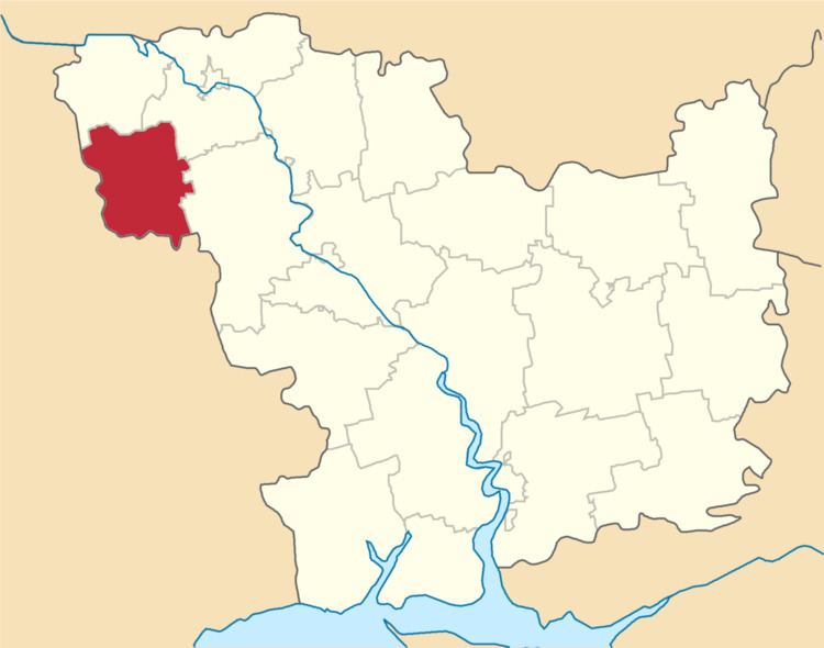
Map of Vradiivs'kyi district, Mykolaivs'ka oblast, Ukraine
History
In the 1920s, the current area of the district belonged to Ananyev Uyezd of Odessa Governorate. In 1923, uyezds in Ukrainian Soviet Socialist Republic were abolished, and the governorates were divided into okruhas. In 1923, Velyka Vradiivka Raion with the administrative center in Vradiivka was established. It belonged to Pervomaisk Okruha. In 1925, the governorates were abolished, and okruhas were directly subordinated to Ukrainian SSR. In 1930, okruhas were abolished, and on 27 February 1932, Odessa Oblast was established, and Velyka Vradiivka was included into Odessa Oblast. In February 1954, Velyka Vradiivka Raion was transferred to Mykolaiv Oblast. In January 1963, during the abortive Khrushchyov administrative reform, Velyka Vradiivka Raion was abolished and merged into Kryve Ozero Raion. In 1964, Velyka Vradiivka was renamed Vradiivka. On 8 December 1966 Vradiivka Raion with the administrative center in Vradiivka was established on the lands previously belonging to Kryve Ozero Raion. In 1967, Vradiivka was granted urban-type settlement status.