
Time zone EET (UTC+2) Vehicle registration ΗΑ Area code 26230 | Elevation 37 m (121 ft) Postal code 270 52 Local time Wednesday 8:11 AM Regional unit Elis | |
 | ||
Weather 14°C, Wind NE at 16 km/h, 80% Humidity | ||
Vouprasia (Greek: Βουπρασία) is a former municipality in Elis, West Greece, Greece. Since the 2011 local government reform it is part of the municipality Andravida-Kyllini, of which it is a municipal unit. Its seat of administration was Varda, a small town with a population of about 2,300. The municipal unit has about 8,400 inhabitants. The area of the municipal unit is 170.859 km².
Contents
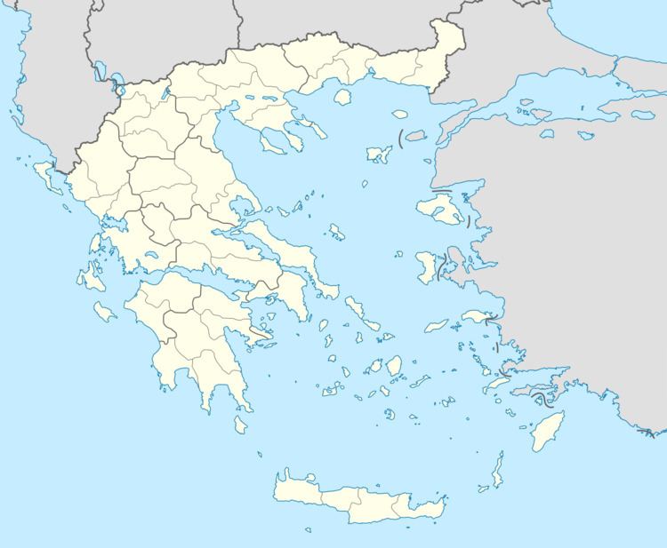
Map of Vouprasia, Greece
Geography
Vouprasia is located in northern Elis, on the Ionian coast between Patras and Pyrgos. The Greek National Road 9/E55 and the Patras-Kalamata railway line pass through it. Vouprasia has one disused railway station, in Varda.
The area is mostly flat, and the main land use is agriculture. The lagoon Kotychi, connected with the Ionian Sea, is located in the western part of Vouprasia. There is a health center in Varda.
Vouprasia borders on (clockwise from the west) the Ionian Sea, the municipal units Larissos and Olenia (both Achaea) and the municipal units Pineia, Amaliada and Lechaina (both Elis).
Subdivisions
The municipal unit Vouprasia is subdivided into the following communities: