
Time zone EET (UTC+2) Vehicle registration ΗΑ Area code 26220 | Elevation 15 m (49 ft) Postal code 270 69 Local time Monday 6:08 AM Municipality Ilida Regional unit Elis | |
 | ||
Weather 9°C, Wind NW at 2 km/h, 84% Humidity | ||
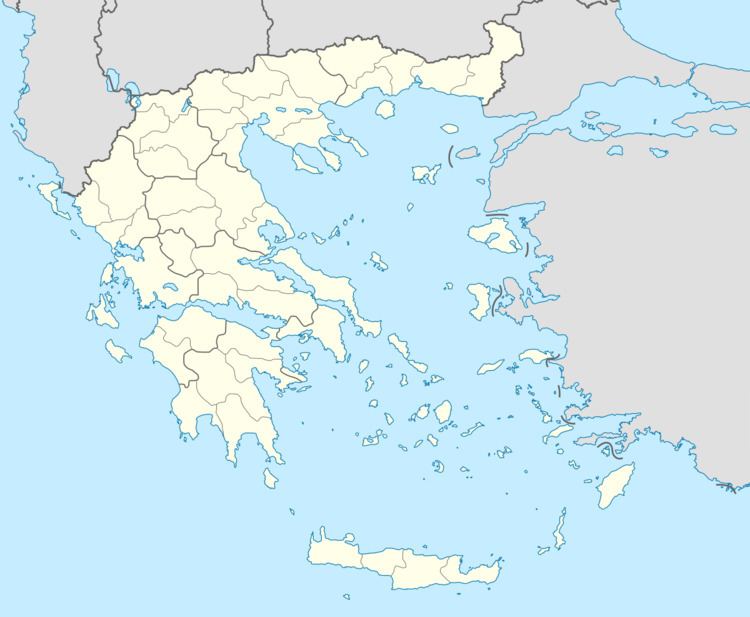
Pineia (Greek: Πηνεία) is a former municipality in Elis, West Greece, Greece. Since the 2011 local government reform it is part of the municipality Ilida, of which it is a municipal unit. The municipal unit has an area of 148.572 km2. Its seat of administration was in the village Simopoulo. Pineia is named after the river Pineios, which forms its northern border. The area is hilly and sparsely populated. It is about 20 km east of Amaliada, 25 km northeast of Pyrgos and 45 km southwest of Patras.
Contents
Map of Pineia 270 69, Greece
Subdivisions
The municipal unit Pineia is subdivided into the following communities (constituent villages in brackets):
References
Pineia Wikipedia(Text) CC BY-SA