
Time zone CET (UTC+1) Area 13 km² Population 366 (1999) | Canton Alto-di-Casaconi INSEE/Postal code 2B355 /20290 Local time Wednesday 1:43 AM | |
 | ||
Weather 8°C, Wind SW at 10 km/h, 76% Humidity | ||
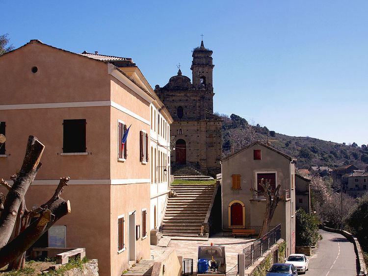
Volpajola is a commune in the Haute-Corse department of France on the island of Corsica.
Contents
Map of 20290 Volpajola, France
It shares the canton of Alto-di-Casaconi with Monte, Campile, Olmo, Prunelli-di-Casacconi, Ortiporio, Campitello, Canavaggia, Lento, Bigorno, Scolca, Crocicchia and Penta-Acquatella.
Geography
Volpajola is 6 kilometres (4 mi) to the east of Campitello. Its territory stretches over the left bank of the River Golo, through which runs Route N193 towards Bastia.
References
Volpajola Wikipedia(Text) CC BY-SA