
Postal index 85700-84791 Population 83,930 (2013) Area code 6244 | Established 1923 Time zone EET (UTC+2) Area 2,549 km² | |
 | ||
Subdivisions List 1 — city councils 6 — settlement councils27 — rural councilsNumber of localities: 1 — cities 6 — urban-type settlements51 — villages 15 — rural settlements | ||
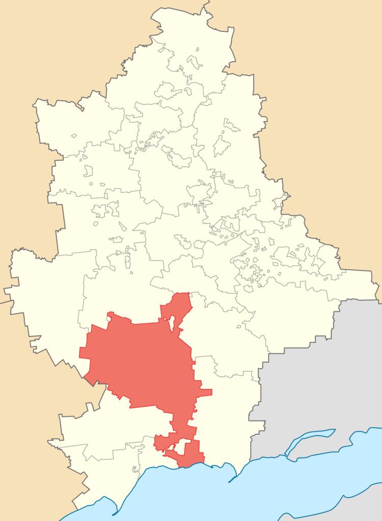
Volnovakha Raion (Ukrainian: Волноваський район, Volnovas’kyi raion) is one of the 18 administrative raions (a district) of Donetsk Oblast, located in southwestern Ukraine. The administrative center of the district is located in the city of Volnovakha. Population: 83,930 (2013 est.)
Contents
Map of Volnovakha, Dnipropetrovska, Ukraine
History
On 9 December 2014, the Verkhovna Rada, Ukraine's national parliament, changed the boundaries and total area of the Volnovakha Raion to encompass 2,549.44 km2 (984.34 sq mi) following the events surrounding the War in Donbass.
Subsequently, the Governor of Donetsk Oblast Oleksandr Kikhtenko adopted a resolution moving the administrative center of the Novoazovsk Raion to the urban-type settlement of Vynohradne; the administrative center of the Telmanove Raion to the urban-type settlement of Myrne; and the administrative center of the Yasynuvata Raion to the urban-type settlement of Ocheretyne.
Demographics
According to the 2001 Ukrainian Census,