
 | ||
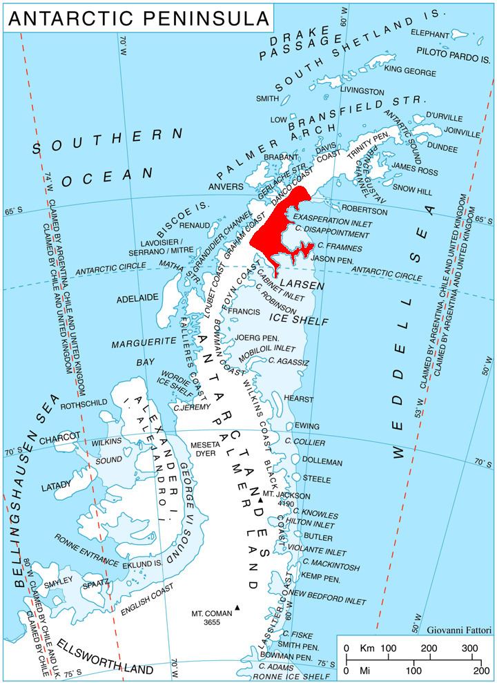
Voden Heights (Bulgarian: Воденски възвишения, ‘Vodenski Vazvisheniya’ \'vo-den-ski v&z-vi-'she-ni-ya) are the heights extending 42.5 km in east-west direction and 15.4 km wide, rising to 1650 m (Mount Zadruga) on Oscar II Coast in Graham Land. They are bounded by Flask Glacier to the north, Scar Inlet to the east, Leppard Glacier to the south and its tributary Fleece Glacier to the southwest, and linked by a wide ice-covered saddle to Bruce Plateau to the west. The feature is named after the settlements of Voden in Northeastern, Southeastern, and Southern Bulgaria.
Contents
Map of Voden Heights, Antarctica
Location
Voden Heights are centred at 65°50′40″S 62°50′40″W. British mapping in 1976.
Maps
References
Voden Heights Wikipedia(Text) CC BY-SA