
 | ||
Mount Zadruga (Bulgarian: връх Задруга, ‘Vrah Zadruga’ \'vr&h za-'dru-ga) is the ice-covered peak rising to 1650 m in the west part of Voden Heights on Oscar II Coast in Graham Land. It surmounts upper Flask Glacier to the north, and a tributary to Fleece Glacier to the south-southeast. The feature is named after the settlement of Zadruga in Northeastern Bulgaria.
Contents
Map of Mount Zadruga, Antarctica
Location
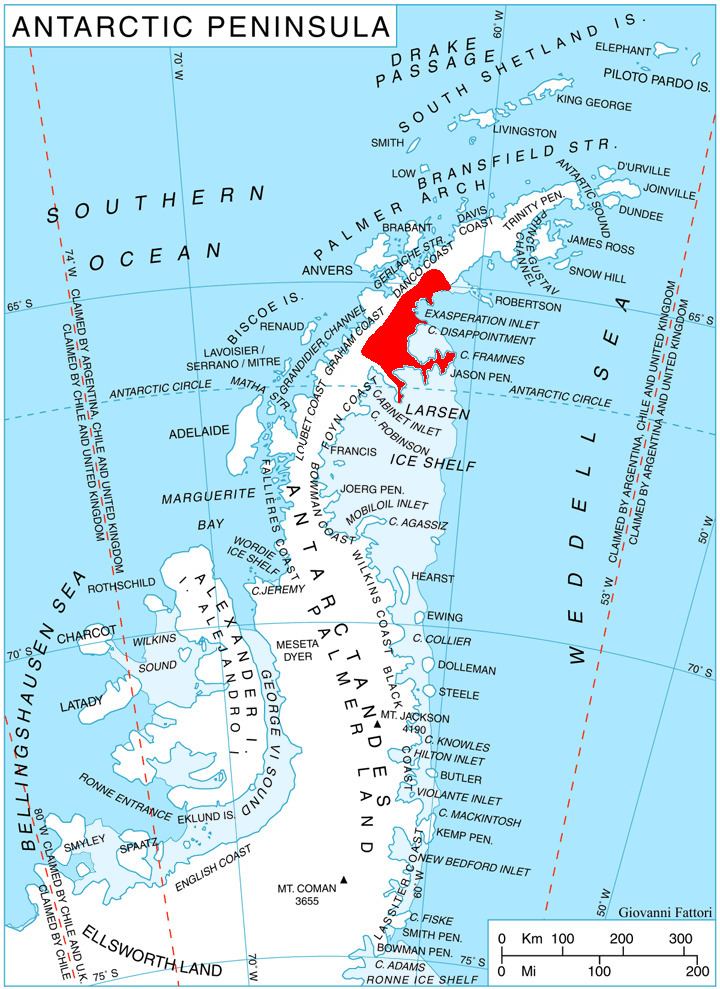
Mount Zadruga is located at 65°48′29″S 63°12′55″W, which is 11.45 km south-southwest of Peychinov Crag, 27.7 km west of Bildad Peak, 12.9 km north of Moider Peak, and 33 km east-southeast of Mount Chevreux on Graham Coast. British mapping in 1976.
Maps
References
Mount Zadruga Wikipedia(Text) CC BY-SA