
Postal index 57200—57287 Founded 1939 Administrative center Mykolaiv | Established 1939 Time zone EET (UTC+2) Area 1,460 km² Population 50,755 (2015) Area code 512 | |
 | ||
Subdivisions List 0 — city councils 2 — settlement councils19 — rural councilsNumber of localities: 0 — cities 2 — urban-type settlements30 — villages 12 — rural settlements Clubs and Teams MFC Mykolaiv, MBC Mykolaiv, FC Sudnobudivnyk Mykolaiv | ||
Vitovka Raion (Ukrainian: Вітовській район) is located in Mykolaiv Oblast of Ukraine. Its administrative center is the city of Mykolaiv, which is incorporated separately as a city of oblast significance and does not belong to the raion. Population: 50,755 (2015 est.)
Contents
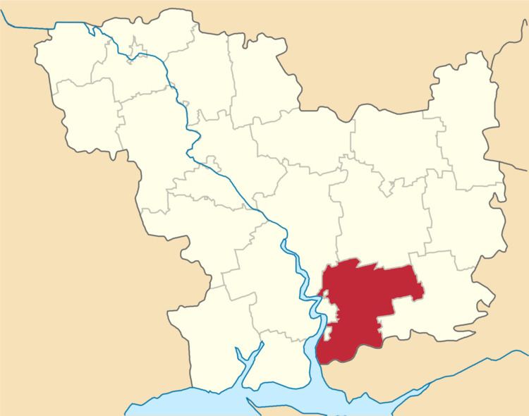
Map of Zhovtnevyi district, Mykolaivs'ka oblast, Ukraine
History
In 1939, Mykolaiv Rural Raion (sometimes referred to as Mykolaiv Raion) in Mykolaiv Oblast was established with the center in the city of Mykolaiv. On 12 September 1944, Mykolaiv Raion was renamed Zhovtneve Raion, and the administrative center of the raion was transferred from Mykolaiv to the town of Zhovtneve. On 27 December 1973, Zhovtneve was merged into the city of Mykolaiv, and therefore Mykolaiv became the administrative center of the raion. Mykolaiv Raion, which existed between 1923 and 1930, and since 1963, though has its administrative center in the city of Mykolaiv as well, was and is located in a different area. On 19 May 2016, Zhovtneve Raion was renamed Vitovka Raion conform to the law prohibiting names of Communist origin.