
Opened 1867 | Official name The Nepean Bridge Total length 250 m | |
 | ||
Other name(s) Victoria Bridge - On State Highway No. 5 - RTA Bridge No. 333; Heritage status NSW State Heritage Register Owner Roads and Maritime Services Similar Nepean River, Macquarie Culvert, Endeavour Bridge, Tarban Creek Bridge, De Burghs Bridge | ||
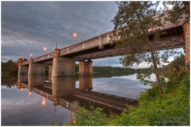
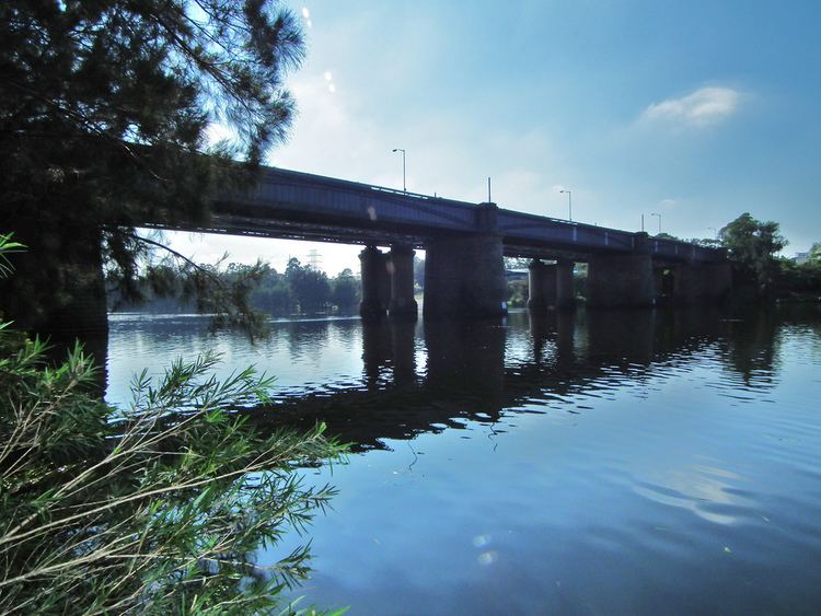
The Victoria Bridge over Nepean River, officially known as The Nepean Bridge, is a wrought iron box plate girder bridge that crosses the Nepean River at Penrith in the western suburbs of Sydney, New South Wales Australia. Completed in 1867 under the supervision of John Whitton, the Engineer–in–Chief of New South Wales Government Railways, the bridge initially carried rail and horse–drawn traffic, and was converted in 1907 to exclusively carry the Great Western Highway. The bridge is managed by Roads and Maritime Services and is listed on the NSW State Heritage Register.
Contents

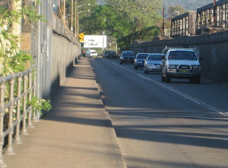
The bridge is the oldest surviving crossing of the Hawkesbury–Nepean River. As at 2009, Roads and Maritime Services estimated that Victoria Bridge carried an average daily traffic of 25,000 vehicles per day.
History
Prior to the construction of the Victoria Bridge, a punt service was located at the site of the bridge. Following the discovery of Gold in the west of the Great Dividing Range demand for a permanent river crossing increased. A timber bridge was constructed with private funds, charging a toll for its use. Opened in January 1856, the bridge was destroyed by floods in 1857, and again rebuilt. Surviving the February 1860 flood, it was again destroyed in May 1860.
Designed by Engineer–in–Chief of Railways, John Whitton, construction began in 1864 and was completed in 1867. Just months before completion, another major flood event occurred rising high enough to wash away the new bridges approach works.
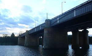
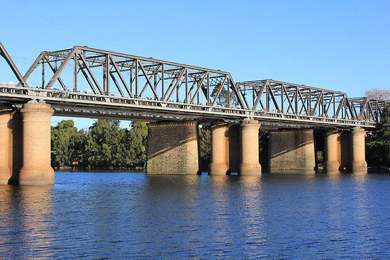
Originally it took one railway line and a road across the river, however in 1907 another bridge was constructed a few metres to the north which thenceforth took two railway lines across the river, and the original bridge reverted to road and pedestrian use only.
The bridge is significant in the development of the colony of NSW as it allowed the railway, which previously terminated at Penrith, to reach the Blue Mountains and beyond, as well as providing continuous road passage across the river using the Great Western Highway.
The 1867 bridge is similar in design to the older Menangle Railway Bridge over the Nepean River at Menangle, southwest of Sydney. The Menangle bridge has always been used only for rail traffic, and is still in use.
Current use
Today the bridge's significance as a road route to and from the Blue Mountains is diminished. The M4 Western Motorway has replaced the Great Western Highway as the main arterial route, crossing the Nepean River at Regentville. The M4 and the Great Western Highway join/separate at Lapstone Hill.
The bridge maintains its significance as a local tourist attraction and a centrepiece to sporting events along the Nepean River, as well as continuing to serve as vital link between the suburbs west of the Nepean, such as Emu Plains, and the major suburban centre of Penrith. The 1907 railway bridge still takes the Main Western and Blue Mountains railway lines over the river.
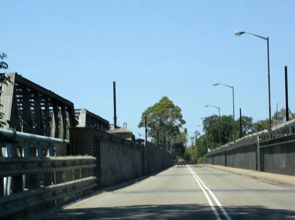
An undivided pedestrian pathway approximately 1.3 metres (4 ft 3 in) is located adjacent to the roadway. Following community advocacy, in 2010, Roads and Maritime Services commenced a feasibility study into a shared pedestrian/cyclist pathway over the bridge.