
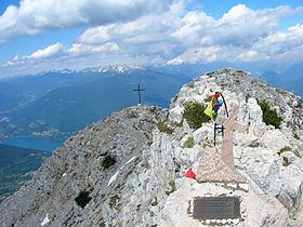
Elevation 2,336 m (7,664 ft) Country Italy | ||
 | ||
Mountains Cima Dodici, Mount Ortigara Similar Alps, Pasubio, Fiemme Mountains, Gruppo della Carega, Monte Grappa | ||
The Vicentine Alps (Italian: Prealpi Vicentine; German: Vizentiner Alpen, Vicentiner Alpen or Vizentiner Voralpen) are a mountain range of the Eastern Alps in Trentino and the provinces of Verona and Vicenza. The mountains were named after the city of Vicenza which lies at their eastern edge. The highest point in the range is the Cima Dodici (2,336 m s.l.m.) on the northern perimeter of the Vicentine Alps.
Contents
- Map of Vicentine Alps 36010 Velo dAstico Province of Vicenza Italy
- BoundariesEdit
- Highest peaksEdit
- References
Map of Vicentine Alps, 36010 Velo d'Astico, Province of Vicenza, Italy
BoundariesEdit
The Alpine Club classification of the Eastern Alps (AVE) bounds the Vicentine Alps as follows: In the west the Etsch marks the boundary of the range from Verona to Trient. Further east, the Mocheni Valley forms the boundary, followed by the Sugana Valley (Brenta) to Bassano del Grappa and the North Italian Plain, from where Verona is reached.
Neighbouring ranges are: to the west, the Garda Mountains; to the north, the Fleimstal Alps; and, to the east, the Dolomites.