
Elevation 2,254 m | ||
 | ||
State Trentino-South Tyrol, Lombardy, Venetia; Italy | ||
The Garda Mountains (German: Gardaseeberge, Italian: Prealpi Gardesane), occasionally also the Garda Hills, are an extensive mountain range of the Southern Limestone Alps in northern Italy.
Contents
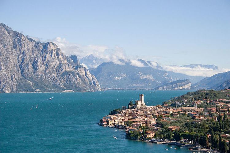
- Map of Garda Mountains 37018 Malcesine Province of Verona Italy
- Boundaries and countryside
- Lakes
- Valleys
- Significant peaks
- Klettersteigs
- Literature
- References
Map of Garda Mountains, 37018 Malcesine, Province of Verona, Italy
Boundaries and countryside
The Garda Mountains are bounded in the south by the Po Valley and in the north by the Brenta Dolomites, in the east by the Etschtal valley and in the west by the Valli Giudicarie. Their precise boundary, according to the Alpine Club classification of the Eastern Alps, is as follows: Lake Iseo – Col di San Zeno – Val Trompia – Passo di Manivia – Bagolino – Storo – Tione – Vezzano – Trient – Etschtal – Verona – Brescia – Lake Iseo.
Their highest summit is the Monte Cadria, at 2,254 m s.l.m.
The climate of the Garda Mountains is very mild as a result of its southerly location and the influence of the Mediterranean Sea. Snow rarely falls in the Sarca valley and on the shores of Lake Garda, and, in spring and autumn, temperatures of between 15-20 °C are often experienced. The Garda Mountains have very few glaciers and ski resorts. The Alpinist centre of the range is the town of Arco. In the vicinity of Arco there are countless sport climbing areas.
Lake Garda and its surrounding mountains are a popular destination for water sportsmen, mountain bikers, hikers and climbers.
On the western shore of Lake Garda is the Parco Alto Garda Bresciano nature park.