
Listing Sierra Peaks Section Easiest route Forest road 3Na6 Prominence 216 m | Topo map USGS Elevation 1,801 m | |
 | ||
Similar Strawberry Peak, South Mount Hawkins, San Gabriel Peak, Waterman Mountain, Mount Islip | ||
Vetter Mountain is located in the San Gabriel Mountains and within the Angeles National Forest, Los Angeles County, California. Elevation 5,911 feet (1,802 m) feet.
Contents
Map of Vetter Mountain, California 93550, USA
Named by USFS surveyor Don McLain (c. 1933) for Victor P. Vetter (nd.), a dedicated forest ranger and fire dispatcher. Vetter won the USFS Bissell Medal for outstanding work in forest conservation (1930).
The Silver Moccasin Trail crosses the mountain on its eastern slopes.
Fire lookoutEdit
Vetter Mountain was the site of historic Vetter Mountain fire lookout tower, a ground mounted BC-3 type cab.
The lookout tower was built in 1937 and remained in service until 1981. Ramona Merwin, a USFS fire lookout staffed the tower from 1953 until its closing. The tower was slated to be moved to the Chilao Visitors Center, but a group of active citizens in cooperation with the Forest Service were able to rebuild, restore, and return the tower to operational service in 1998. The tower was operated by the Angeles National Forest Fire Lookout Association (ANFFLA) citizen volunteers in cooperation with the USDA Forest Service until it was destroyed on August 31, 2009 by the Station Fire. In the years since the fire, the volunteers have been manning a temporary lookout at the base of the steps to the original lookout, keeping watch over the forest. The Angeles National Forest Fire Lookout Association (ANFFLA) volunteers began the rebuilding of the fire lookout on July 12, 2014 with a "bucket brigade," pouring a new concrete pad on which will be built a new lookout structure, using the original 1930s historic design.
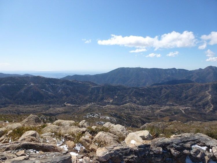
The lookout overlooks several segments of the Angeles Crest Highway, and has a clear view of Mount Wilson to the south, and Mount Pacifico to the north.
Charlton FlatsEdit
Charlton Flats is a picnic grounds located to northeast face of Vetter Mountain, about 40 minutes drive from the Interstate 210. The picnic area has about 185 tables and stoves and is open April 1 through November 15.
The original name of the area was Pine Flat when it was renamed to Charlton Flats in honor of the "new" forest service's first forest supervisor, Mr. R.H. Charlton. Mr. Charlton served as the Angeles National Forest supervisor from 1905-1925 (20 years).