
Time zone PST (UTC+5) | Area 4,364 km² | |
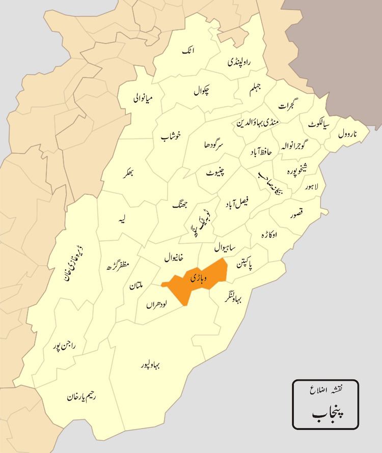 | ||
Vehari District (Urdu: ضِلع وِہاڑى), is a district in the Punjab province of Pakistan. The city of Vehari is the capital of the district.
Contents
Map of Vehari District, Pakistan
Administrative divisions
The district of Vehari is administratively subdivided into three tehsils:
and 3 subtehsils:
The district was created on 1 July 1976 out of the three tehsils of Multan District (Vehari, Burewala and Mailsi). The name Vehari means low-lying settlement by a flood water channel. The district lies along the right bank of the river Sutlej, which forms its southern boundary.
Language
According to the 1998 census, Punjabi was the first language of 83% of the district's population, Saraiki accounted for 11% and Urdu – for 5%.
Geography
The district is located between 29°36′N 71°44′E and 30°22′N 72°53′E and borders with Bahawalnagar and Bahawalpur on the southern side, with Pakpattan on the eastern, with Khanewal and Lodhran on western and with Sahiwal and Khanewal on northern side.
The total area of the district is 4,364 square kilometres (1,685 sq mi). It is about 93 kilometres (58 mi) in length and approximately 47 kilometres (29 mi) in breadth and it is sloping gently from northeast to southwest.