
Constituted August 26, 1972 Time zone EST (UTC−5) Area 114.4 km² Province Québec | Settled 1672 Elevation 19 m (62 ft) Postal code(s) J3X Population 20,994 (2011) Local time Saturday 7:16 AM | |
 | ||
Weather 1°C, Wind NE at 8 km/h, 99% Humidity RCMs Montérégie, Lajemmerais Regional County Municipality | ||
Varennes is an off-island suburb of Montreal, in southwestern Quebec, Canada, on the Saint Lawrence River in the Marguerite-D'Youville Regional County Municipality. The city is approximately 24 kilometres (15 mi) from Downtown Montreal. The population as of the Canada 2011 Census was 20,994. In 2010, the population is listed at 21,174.
Contents
Map of Varennes, QC, Canada
History
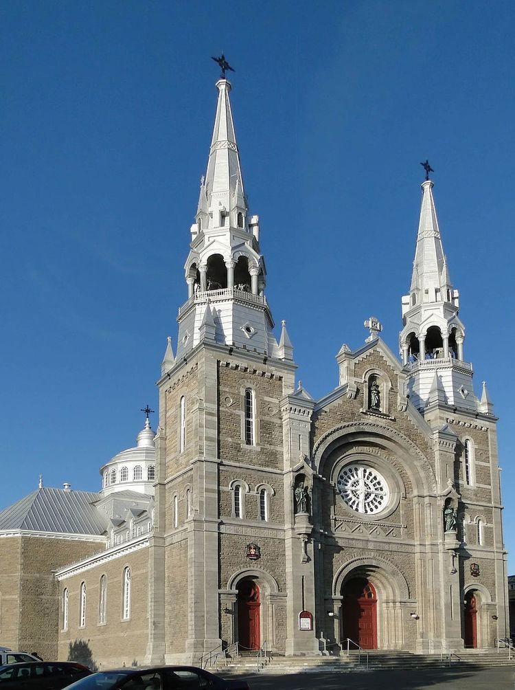
The history of Varennes starts with the arrival of the Régiment de Carignan-Salières in New France. René Gaultier,sieur de Varennes, was given three concessions by intendant Jean Talon in 1672, le Tremblay, la Gabelle and Varennes. Jaques-René, one of his sons, was the second seigneur of Varennes. Five seignories later composed the Varennes parish. They were the seignories du Cap de Varennes, de l'île Sainte Thérese, de Grand Maison, du Cap de la trinité and du Cap Saint-Michel. The town was captured by the British during the Seven Years' War. It was part of Quebec then of Lower Canada before it returned to be part of Quebec again.
Varennes gained the status of city in 1972.