
Elevation 620 m (2,030 ft) Time zone CET (UTC+1) Local time Saturday 12:26 AM Postal code 03040 Dialling code 0776 | Demonym(s) Vallerotondesi Area 59 km² | |
 | ||
Weather 9°C, Wind N at 3 km/h, 70% Humidity | ||
Vallerotonda is a town and comune (municipality) in the region of Lazio in central Italy, in the province of Frosinone. The commune is situated on the Apennine Mountains and forms part of the Comino Valley.
Contents
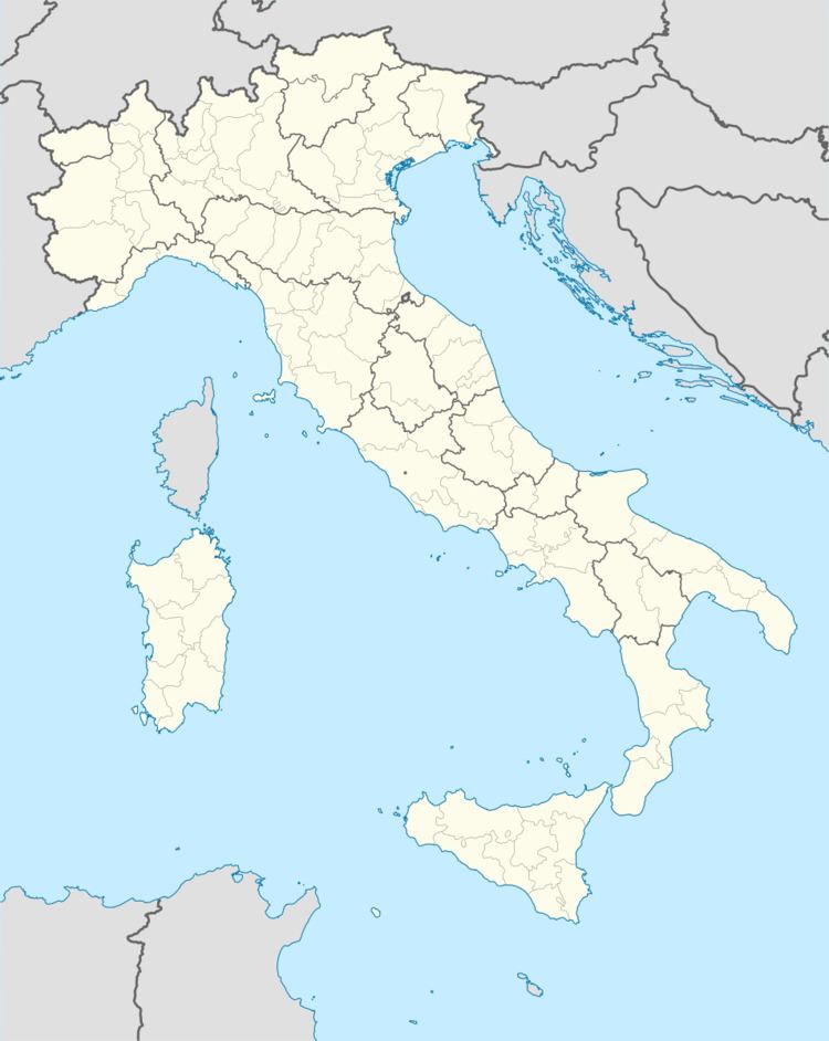
Map of 03040 Vallerotonda Province of Frosinone, Italy
Geography
The area is historically tied to the Mezzogiorno, the Italian "South", only relatively recently in the 1920s Fascist rule, was it transferred to the "central" province of Lazio along with Latina from the Terra di Lavoro, which was a giustizierato (circumscription) of the former Kingdom of Naples.
It borders the communes Acquafondata, Cervaro, Filignano, Rocchetta a Volturno, San Biagio Saracinisco, Sant'Elia Fiumerapido, and Viticuso.
References
Vallerotonda Wikipedia(Text) CC BY-SA