
Elevation 250 m (820 ft) Dialing code 0776 Area 39.2 km² Local time Wednesday 1:31 PM | Time zone CET (UTC+1) Patron saint Maria SS. de' Piternis Postal code 03044 Dialling code 0776 | |
 | ||
Weather 16°C, Wind N at 19 km/h, 36% Humidity | ||
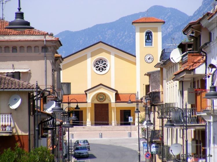
Cervaro is a town and comune (municipality) in the Province of Frosinone in the Italian region Lazio. It is located in the Liri valley, about 130 kilometres (81 mi) southeast of Rome and about 50 kilometres (31 mi) southeast of Frosinone.
Contents
Map of Cervaro, Province of Frosinone, Italy
Cervaro borders the following municipalities: Cassino, San Vittore del Lazio, Sant'Elia Fiumerapido, Vallerotonda, Viticuso.
History
Cervaro originated from a castle built here in the Early Middle Ages by abbot Petronax of Monte Cassino.
Cervaro was destroyed in the Battle of Monte Cassino during World War II.
Main sights
The Abruzzo, Lazio and Molise National Park is not far.
Transportation
The nearest airport is Rome Ciampino, with access also from Rome Fiumicino and Naples Airport. Cervaro is reachable from Rome by train; timetables can be found on trenitalia, by bus or by car from the Motorway A1 (Cassino exit). Cervaro is also very well connected by bus from the nearest villages and from the closest city of Cassino where buses link to other Lazio destinations. Cotral is the regional company which operates services in all Lazio. Bus timetables are on [1]