
Elevation 460 m (1,510 ft) Time zone CET (UTC+1) Local time Saturday 5:15 PM Dialling code 0865 | Demonym(s) Filignanesi Area 30.88 km² Postal code 86074 | |
 | ||
Frazioni Bottazzella, Cerasuolo, Cerreto, Collemacchia, Franchitti, Frunzo, Lagoni, Mastrogiovanni, Mennella, Selvone, Valerio, Valle Weather 11°C, Wind N at 14 km/h, 37% Humidity | ||
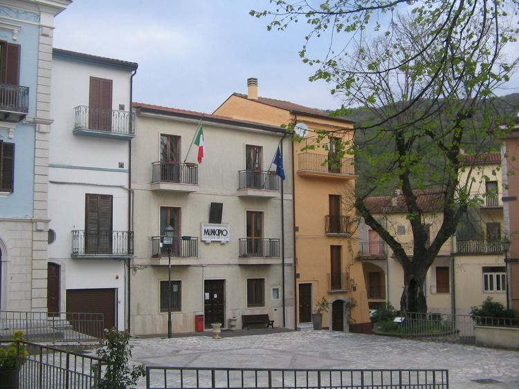
Filignano is an Italian comune (municipality) of the Province of Isernia, in the region Molise. As of 2013, it had a population of 666 and an area of 30.88 square kilometres (11.92 sq mi).
Contents
Map of 86074 Filignano Province of Isernia, Italy
History
The village was first mentioned in 962 and elevated to autonomous municipality in 1840, when it was separed from Pozzilli.
Geography
Filignano is located 74 kilometres (46 mi) west of Campobasso, 24 kilometres (15 mi) southwest of Isernia, 11 kilometres (6.8 mi) north of Venafro, and 34 kilometres (21 mi) east of Cassino. It is a hill town surrounded by the Mainarde mountain range, in the Abruzzo, Lazio and Molise National Park.
The municipal territory, bordering with the region of Lazio and not too far from Campania, borders with the municipalities of Acquafondata (FR), Colli a Volturno, Montaquila, Pozzilli, Rocchetta a Volturno, Scapoli, and Vallerotonda (FR). It counts the hamlets (frazioni) of Bottazzella, Cerasuolo, Cerreto, Collemacchia, Franchitti, Frunzo, Lagoni, Mastrogiovanni, Mennella, Selvone, Valerio, and Valle.
In the municipality, especially in the village of Cerasuolo, there is a large community of Italian Scots, children and grandchildren of Filignanese immigrants, returning from Scotland.