
 | ||
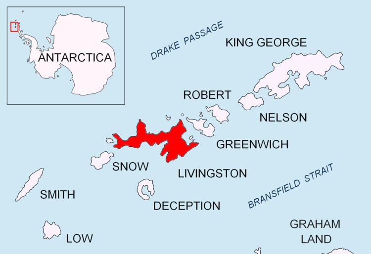
Ustra Peak (Vrah Ustra \'vr&h 'us-tra) is a rocky peak of 195 m on the coast of Walker Bay, Livingston Island in the South Shetland Islands, Antarctica. The peak was named after the medieval Bulgarian fortress of Ustra in the Eastern Rhodope Mountains.
Contents
Map of Ustra Peak, Antarctica
Location
The peak is located at 62°38′26″S 60°35′57″W, which is next southeast of Verila Glacier, 2.1 km west of Krakra Bluff and 1.71 km north-northeast of Hannah Point. It was mapped by the British in 1968, and by the Bulgarians in 2005 and 2009.
Maps
References
Ustra Peak Wikipedia(Text) CC BY-SA