
Primary inflows Surface area 214 km (83 sq mi) Settlements Oruro, Machacamarca Area 214 km² Designated as world heritage site 11 July 2002 | Max. depth 1.5 m (4 ft 11 in) Surface elevation 3,686 m Inflow source Desaguadero River | |
 | ||
Outflow location Desaguadero River, Laq'a Jawira | ||
k bolivia travel oruro uru uru lake flamingo altiplano
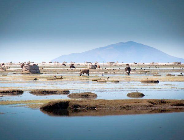
Uru Uru Lake is a lake in the Oruro Department in Bolivia. It is fed by the Desaguadero River and the Jach'a Jawira. It is situated at an elevation of 3,686 m, its surface area is 214 km².
Contents
Map of Lago Uru Uru, Bolivia
The lake is formed by the flow of the Desaguadero River at its mouth into Lake Poopó, over the extensive sedimentation known as "Santo Tomás" from the small hermitage found there that was completely inundated. The formation dates to 1962. The river connects Lake Titicaca and Lake Poopó.
The lake is a tourist attraction for boating and fishing, as it contains a large number of fish.
Oruro is located very near the shore, and is an industrial mining center.
During a long drought in 2016, the lake lost almost all of its water. This was described by local media and experts as an environmental catastrophe caused by several factors, including climate change and the use of water for mining.