Country United States GNIS feature ID 0453926 Area 289.8 km² Population 24,587 (2010) | ZIP codes 47933, 47965, 47968 Elevation 239 m Local time Friday 2:06 PM | |
 | ||
Weather 6°C, Wind NW at 19 km/h, 94% Humidity Points of interest Rotary Jail Museum, Milligan Park, Gen Lew Wallace Study, Carnegie Museum of Montgom, Sugar Creek Nature P | ||
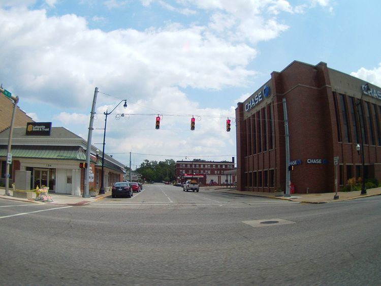
Union Township is one of eleven townships in Montgomery County, Indiana, United States. As of the 2010 census, its population was 24,587 and it contained 10,723 housing units. Wabash College is located in Crawfordsville in this township.
Contents
- Map of Union Township IN USA
- Geography
- Cities towns villages
- Unincorporated towns
- Cemeteries
- Major highways
- Airports and landing strips
- School districts
- Political districts
- References
Map of Union Township, IN, USA
Geography
According to the 2010 census, the township has a total area of 111.88 square miles (289.8 km2), of which 111.58 square miles (289.0 km2) (or 99.73%) is land and 0.3 square miles (0.78 km2) (or 0.27%) is water.
Cities, towns, villages
Unincorporated towns
(This list is based on USGS data and may include former settlements.)
Cemeteries
The township contains these nineteen cemeteries: Ben Hur, Breaks, Calvary, Coons, Finley Chapel, Galey, Harshbarger, Hutton, Independent Order of Odd Fellows, Lutheran, Michael, Nutt, Oak Hill, Oldtown, Sidener, Stover, Weir, Wilhite and Wilson.
