
County Montgomery FIPS code 18-84032 Elevation 265 m Local time Sunday 7:37 AM | State Indiana GNIS feature ID 445979 Zip code 47968 | |
 | ||
Weather 5°C, Wind SW at 5 km/h, 93% Humidity | ||
Whitesville is an unincorporated community in Union Township, Montgomery County, Indiana.
Contents
Map of Whitesville, IN 47933, USA
History
A post office was established at Whitesville in 1852, and remained in operation until 1919. Joseph S. White served as an early postmaster.
Geography
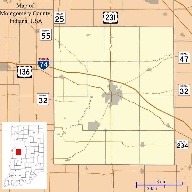
Whitesville is located at 39°57′55″N 86°50′01″W.
References
Whitesville, Indiana Wikipedia(Text) CC BY-SA