County Montgomery FIPS code 18-26375 Elevation 241 m Local time Friday 12:15 PM | State Indiana GNIS feature ID 434956 Zip code 47933 | |
 | ||
Weather 3°C, Wind N at 24 km/h, 40% Humidity | ||
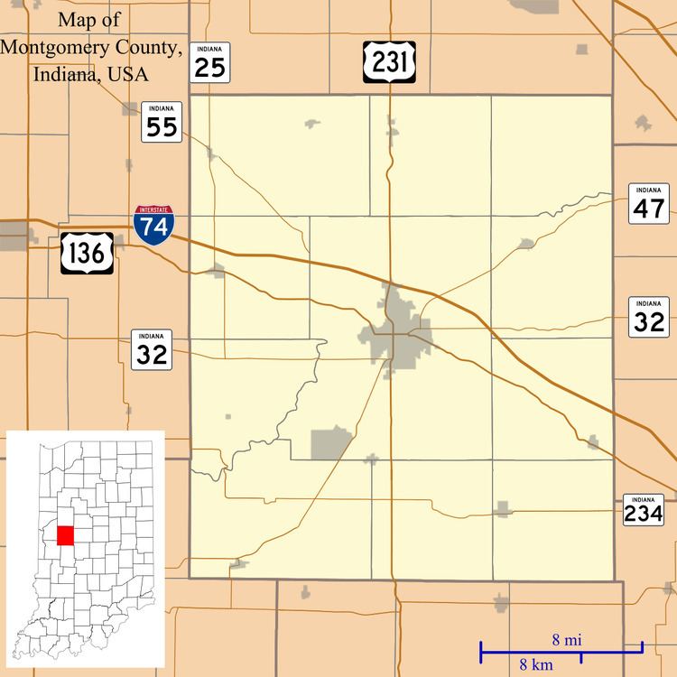
Garfield is an unincorporated community in Union Township, Montgomery County, Indiana.
Contents
Map of Garfield, Union Township, IN 47933, USA
History
A post office was established at Garfield in 1880, and remained in operation until 1907. The community as named after James A. Garfield (1831–1881), 20th President of the United States.
Geography
Garfield is located at 40°04′59″N 86°49′26″W.
Education
Residents are zoned to North Montgomery Community School Corporation schools. Elementary students are zoned to Sugar Creek Elementary School. Secondary students attend Northridge Middle School and North Montgomery High School.
References
Garfield, Indiana Wikipedia(Text) CC BY-SA
