
Country United States Elevation 353 m Local time Friday 1:03 PM | GNIS feature ID 0478347 Area 110.9 km² Population 1,672 (2000) | |
 | ||
Weather 8°C, Wind N at 16 km/h, 82% Humidity | ||
Union Township is a township in Jefferson County, Kansas, USA. As of the 2000 census, its population was 1,672.
Contents
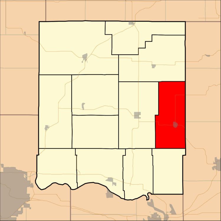
- Map of Union KS USA
- Geography
- Cities and towns
- Adjacent townships
- Cemeteries
- Major highways
- Airports and landing strips
- References
Map of Union, KS, USA
Geography
Union Township covers an area of 42.83 square miles (110.92 square kilometers); of this, 0.13 square miles (0.33 square kilometers) or 0.3 percent is water. The stream of Scatter Creek runs through this township.
Cities and towns
Adjacent townships
Cemeteries
The township contains one cemetery, Fowler.
Major highways
Airports and landing strips
References
Union Township, Jefferson County, Kansas Wikipedia(Text) CC BY-SA