
Country United States Elevation 350 m Local time Friday 1:15 PM | GNIS feature ID 0478243 Area 150.9 km² Population 1,240 (2000) | |
 | ||
Weather 4°C, Wind NE at 14 km/h, 33% Humidity | ||
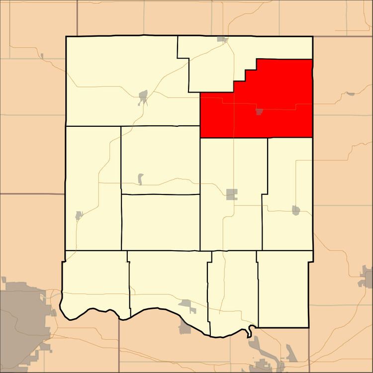
Jefferson Township is a township in Jefferson County, Kansas, USA. As of the 2000 census, its population was 1,240.
Contents
- Map of Jefferson KS USA
- Geography
- Cities and towns
- Unincorporated towns
- Adjacent townships
- Cemeteries
- Major highways
- References
Map of Jefferson, KS, USA
Geography
Jefferson Township covers an area of 58.25 square miles (150.87 square kilometers); of this, 0.14 square miles (0.36 square kilometers) or 0.24 percent is water. The stream of Indian Creek runs through this township.
Cities and towns
Unincorporated towns
(This list is based on USGS data and may include former settlements.)
Adjacent townships
Cemeteries
The township contains three cemeteries: Hulls Grove, Spring Grove and Wise.
Major highways
References
Jefferson Township, Jefferson County, Kansas Wikipedia(Text) CC BY-SA