
Country United States Elevation 309 m Local time Wednesday 12:41 PM | GNIS feature ID 0478519 Area 80.36 km² Population 958 (2000) | |
 | ||
Weather 11°C, Wind E at 21 km/h, 31% Humidity | ||
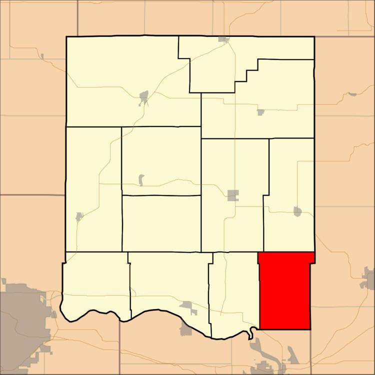
Sarcoxie Township is a township in Jefferson County, Kansas, USA. As of the 2000 census, its population was 958.
Contents
Map of Sarcoxie, KS, USA
Geography
Sarcoxie Township covers an area of 31.03 square miles (80.36 square kilometers); of this, 0.14 square miles (0.36 square kilometers) or 0.45 percent is water. The stream of Plum Creek runs through this township.
Adjacent townships
Cemeteries
The township contains one cemetery, Hardy Oak.
Major highways
References
Sarcoxie Township, Jefferson County, Kansas Wikipedia(Text) CC BY-SA