
Elevation 410 m (1,350 ft) Area 5.58 km² Population 392 (31 Dec 2008) Dialling code 06762 | Time zone CET/CEST (UTC+1/+2) Local time Thursday 8:05 PM Postal code 56290 | |
 | ||
Weather 16°C, Wind SE at 10 km/h, 53% Humidity | ||
Uhler is an Ortsgemeinde – a municipality belonging to a Verbandsgemeinde, a kind of collective municipality – in the Rhein-Hunsrück-Kreis (district) in Rhineland-Palatinate, Germany. It belongs to the Verbandsgemeinde of Kastellaun, whose seat is in the like-named town.
Contents
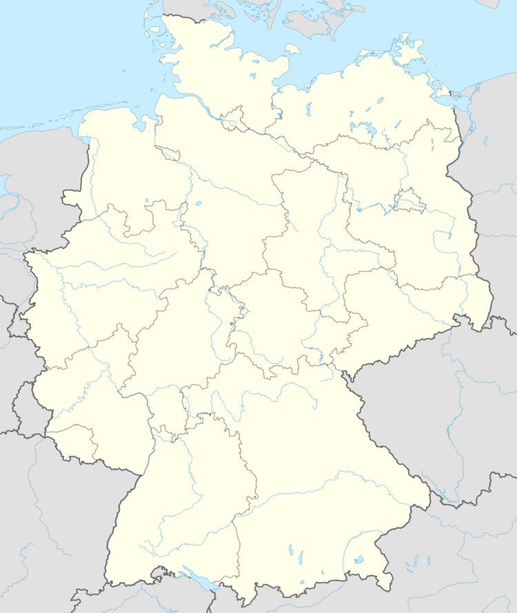
Map of 56290 Uhler, Germany
Location
The municipality lies on a ridge in the central Hunsrück, roughly 12 km southeast of the Moselle at Treis-Karden, 3 km north of Kastellaun and 2 km north of the Hunsrückhöhenstraße (“Hunsrück Heights Road”, a scenic road across the Hunsrück built originally as a military road on Hermann Göring’s orders). Also belonging to Uhler are the outlying homesteads of Gräfenmühle, Junkersmühle, Neumühle and Sulzmühle.
History
In 1200, Uhler had its first documentary mention in a document from St. Maximin’s Abbey in Trier as owilre. Uhler belonged to the “Three-Lord Court” in Beltheim. Beginning in 1794, Uhler lay under French rule. In 1814 it was assigned to the Kingdom of Prussia at the Congress of Vienna. Since 1946, it has been part of the then newly founded state of Rhineland-Palatinate.
Municipal council
The council is made up of 6 council members, who were elected by majority vote at the municipal election held on 7 June 2009, and the honorary mayor as chairman.
Mayor
Uhler’s mayor is Hans-Herbert Laux.
Coat of arms
The municipality’s arms might be described thus: Below a chief countercompony gules and argent, tierced in mantle, dexter argent an eagle’s sinister wing sable, sinister argent a cross of the first and in base gules a bugle-horn of the second.
The arms refer to the lords of the “Three-Lord Court” in Beltheim. The chief, namely the band at the top of the escutcheon with the two-row chequered pattern (“countercompony”), stands for the Counts of Sponheim, the red cross on the sinister (armsbearer’s left, viewer’s right) side for the Electorate of Trier and the bugle-horn for the Lords of Braunshorn. The charge on the dexter (armsbearer’s right, viewer’s left) side, the eagle’s wing, was an heraldic device borne by the knightly family of Keyser von “Owilre”.
Buildings
The following are listed buildings or sites in Rhineland-Palatinate’s Directory of Cultural Monuments: