
Population (2015) 1,976 | Founded 1989 | |
 | ||
Weather 13°C, Wind SE at 3 km/h, 78% Humidity | ||
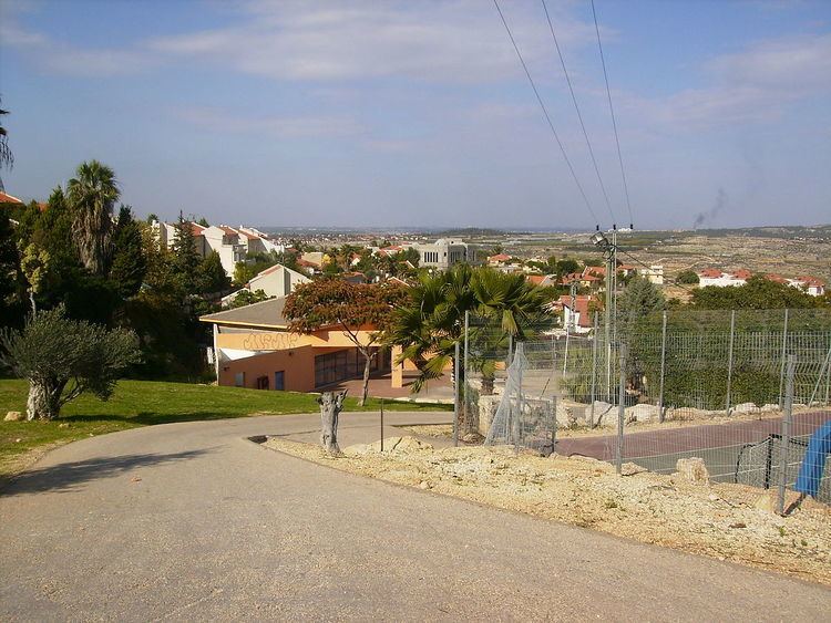
Tzofim (Hebrew: צוֹפִים), or Tzufin (צוּפִין), is a communal Israeli settlement in the West Bank. Located in the Samarian mountains, north of Alfei Menashe and Qalqilyah and northeast of Kfar Saba, it falls under the jurisdiction of Shomron Regional Council. In 2015 it had a population of 1,976.
Contents
Map of Zufim
The international community considers Israeli settlements in the West Bank illegal under international law, but the Israeli government disputes this.
History
Tzofim was established in 1989 with assistance from the Amana settlement organization. The population is made up of a mixed group of Orthodox and non-religious Israelis.
The village is located in an area described as the seam zone and its proximity to the Green Line (less than 2 kilometres east of it) and its similar proximity to the Palestinian town of Qalqilyah has made its inclusion on the Israeli side of the West Bank barrier controversial, especially as the looping nature of the barrier's path forms a quasi-enclave of some Arab villages to its south.