
Population 417 (2011 census) Postal code 3813 Federal division Division of McMillan | Postcode(s) 3813 Elevation 135 m Local time Tuesday 1:17 AM | |
 | ||
Weather 13°C, Wind NW at 10 km/h, 83% Humidity | ||
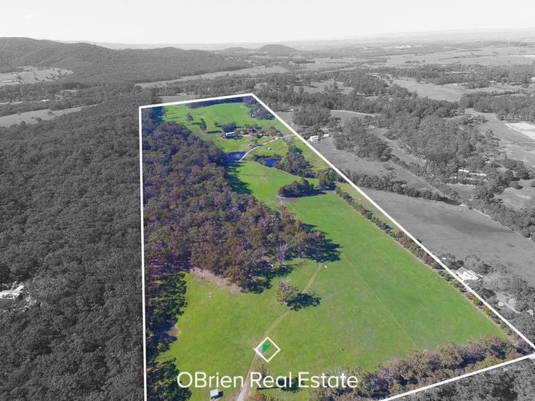
Tynong North is a locality in West Gippsland, Victoria, Australia within the Shire of Cardinia. At the 2006 census, it had a population of 417.
Contents
Map of Tynong North VIC 3813, Australia
Tynong North is separated from Tynong by the Princes Freeway, which runs between the two settlements. The localities are further distinguished geographically with Tynong being situated on the edge of a reclaimed swamp while Tynong North sits at the foot of the mountains in the Weatherhead Range, and is adjacent to Bunyip State Park and the Weatherhead Forest Reserve.
Places of interest include Gumbuya Park, Mill Valley Ranch, the old Cornucopia Museum (which is under renovation) and the Fulton Hogan Pty Ltd (previously Astec) Quarry.
Tynong North Post Office opened on 14 May 1934 and closed in 1964.
Sport and Leisure
Tynong North borders the Bunyip State Park which features numerous horse riding tracks. Horse riding lessons are also available from local trainers.