
- location Talbot Peak | - elevation 1,240 m (4,068 ft) - elevation 1,130 m (3,707 ft) | |
 | ||
- right Jacobs Creek (Victoria) - location Talbot Peak, Mount Mueller | ||
Tyers river vic high country
The Tyers River is a perennial river of the West Gippsland catchment, located in the West Gippsland region of the Australian state of Victoria.
Contents
- Tyers river vic high country
- Map of Tyers River Victoria Australia
- Tyers river tiger snake 1 mts
- Course and featuresEdit
- References
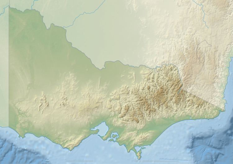
Map of Tyers River, Victoria, Australia
Tyers river tiger snake 1 mts
Course and featuresEdit
The Tyers River rises below Talbot Peak, part of the Great Dividing Range, within the Baw Baw National Park at an elevation of 1,240 metres (4,070 ft) and descends steeply. At Tyers Junction the river is joined by the confluence of the Tyers River West Branch that drains the eastern slopes of Mount Mueller from an elevation of 1,130 metres (3,710 ft) and the Tyers River East Branch that drains the southern slopes of Talbot Peak from an elevation of 551 metres (1,808 ft). The river flows in a highly meandering course generally south, then south by east, through the Moondarra State Park, joined by one minor tributary, before reaching its confluence with the Latrobe River west of Tyers in the Latrobe City local government area. The river descends 1,200 metres (3,900 ft) over its 57-kilometre (35 mi) course.
The Tyers River is impounded by the Moondarra Reservoir, at the junction of the Tyers River and Jacobs Creek. The 30,400 thousand cubic metres (1,070×10^6 cu ft) reservoir is predominately used to augment domestic water supplies.
The Tyers River sub-catchment area is managed by the West Gippsland Catchment Management Authority.